What is recorded here
Kilbride church and graveyard stood in County Down during the medieval period, marked still by a cross-carved stone. Whether the stone marked a doorway, a grave or a warning, people shaped local belief around it. The missing building does not erase the act of carving; it preserves the moment when faith became visible in stone.
The official Northern Ireland record identifies this as CHURCH & GRAVEYARD (site of), with CROSS-CARVED STONE: KILBRIDE. Recorded period: UNCERTAIN; MEDIEVAL. The official map point was placed at the centre of the recorded archaeological site from the source map reference.
Medieval Christian burial site with a cross-carved stone, likely 9th to 13th century. The site reflects early ecclesiastical activity and the presence of a monastic or parish church in the Kilbride area.
The monument record does not grant public access. Check the route and ask the landowner before entering private land.
- What survives
- Recorded monument
Places near here
 CASTLE in KilbrideCASTLE · 1039 yd
 Anchor BarPublic House · 1156 yd
 Water Safety Information - Killough Harbour (Castle)Visitor information · 1277 yd
 Killough ClinicHealth Centre · 1322 yd
 Water Safety Information - Killough HarbourVisitor information · 1326 yd
 CHURCH (site of): ST. BRIDGET'S in RossglassCHURCH (site of): ST. BRIDGET'S · 1621 yd
 CHURCH & GRAVEYARD, site of MONASTERY with BULLAUN & HOLY WELL: ST. JOHN'S POINT CHURCH in Saint Johns PointCHURCH & GRAVEYARD, site of MONASTERY with BULLAUN & HOLY WELL: ST. JOHN'S POINT CHURCH · 1730 yd
 Curlew PointHeadland · 1.2 mi
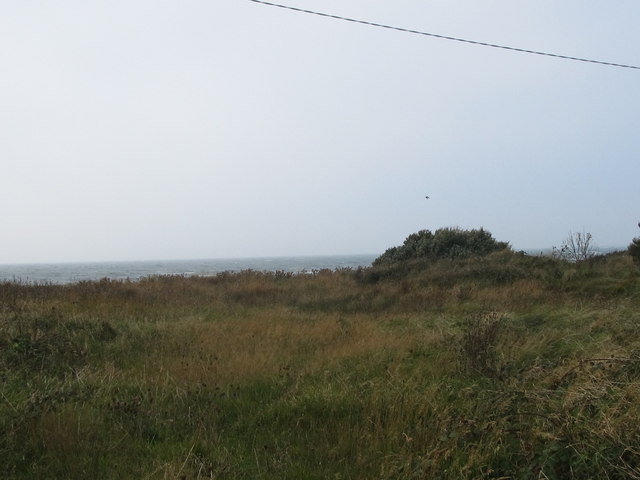 Rossglass BeachBeach / strand · 1.6 mi
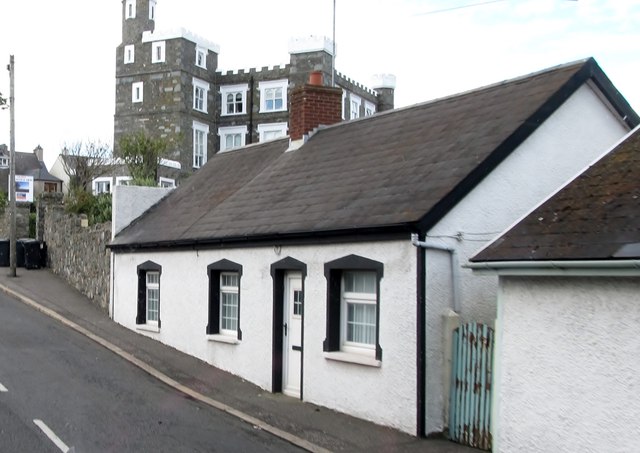 TOWER-HOUSE: KING'S CASTLE in ArdglassTOWER-HOUSE: KING'S CASTLE · 2.0 mi
 Ardtole ChurchWalking route · 2.7 mi
 CHURCH (in ruins) & GRAVEYARD: ARDTOLE CHURCH; ST.NICHOLAS' in ArdtoleCHURCH (in ruins) & GRAVEYARD: ARDTOLE CHURCH; ST.NICHOLAS' · 2.7 mi