What is recorded here
Gervaghkerin stands in County Tyrone as a church and graveyard marked from the medieval through post-medieval periods. Its four names repeat like a chant, forcing the tongue to remember what the stones already know. People may have gathered there to pray, bury and belong, while the land kept their shapes hidden beneath grass. The place still holds that rhythm, waiting for someone to listen before speaking.
The official Northern Ireland record identifies this as CHURCH & GRAVEYARD: GERVAGHKERIN, GERVAGH-KERIN, GARVAGHKEIRINN or SCAIRB AN CIOTHRAINN. Recorded period: POST-MED; MED/L.MED. The official map point was placed at the centre of the recorded archaeological site from the source map reference.
The monument record does not grant public access. Check the route and ask the landowner before entering private land.
- What survives
- Recorded monument
Places near here
 TWO STANDING STONES in Crew LowerTWO STANDING STONES · 853 yd
 ENCLOSURE in WhitehouseENCLOSURE · 1756 yd
 MullaghcroyMountain / peak · 2.4 mi
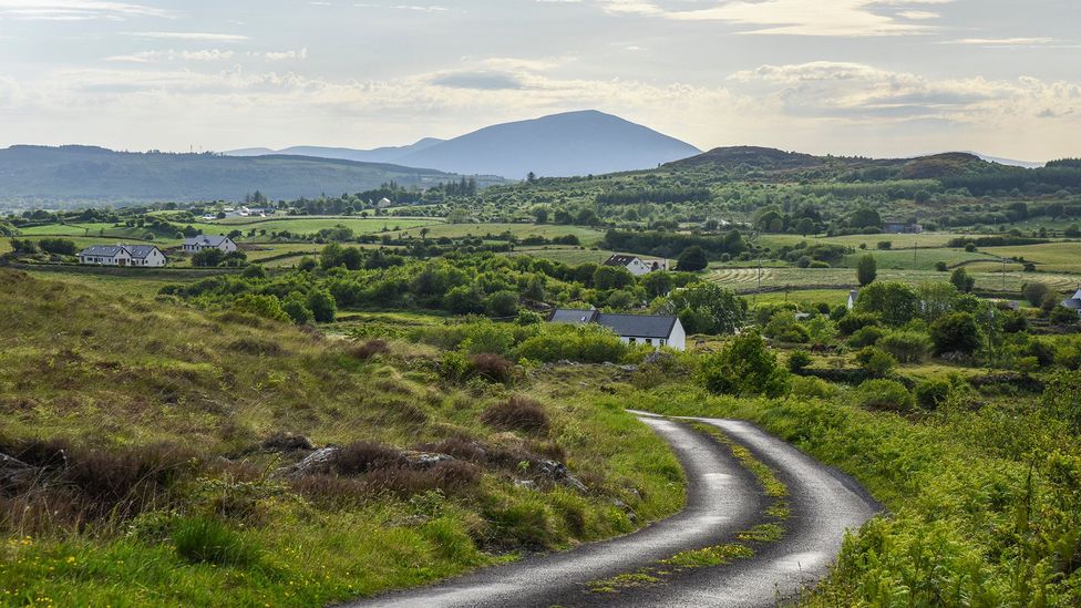 Gallagher's PlantationForest · 2.8 mi
 Largybeg WoodForest · 2.8 mi
 Castlederg BridgeBridge · 2.8 mi
 Ulster BankBank · 2.8 mi
 HISTORIC SETTLEMENT: CASTLEDERG, DERG BRIDGE, CASTLE-DERRICK or CHURCHTOWN in ChurchtownHISTORIC SETTLEMENT: CASTLEDERG, DERG BRIDGE, CASTLE-DERRICK or CHURCHTOWN · 2.9 mi
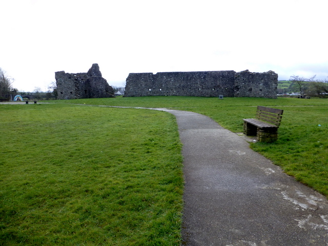 FORTIFIED HOUSE & BAWN: CASTLEDERG CASTLE in CastlesessaghFORTIFIED HOUSE & BAWN: CASTLEDERG CASTLE · 3.0 mi
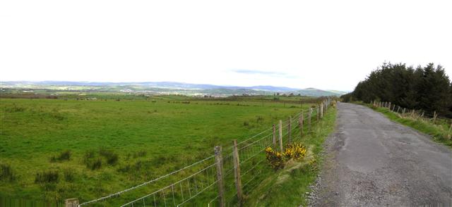 Fearn HillMountain / peak · 3.1 mi
 BATTLE SITE: in 789 AD & BATTLE OF THE FORDS , Southern crossing, 1689 in Clady; DonnygowanBATTLE SITE: in 789 AD & BATTLE OF THE FORDS , Southern crossing, 1689 · 5.6 mi
 CHURCH; GRAVEYARD; CARVED STONE: HOLYWELL CHURCH in LackaghCHURCH; GRAVEYARD; CARVED STONE: HOLYWELL CHURCH · 6.8 mi