What is recorded here
An east-west stone church stands beside a graveyard in County Carlow, Ireland, with walls about 1.2 m high and a plain east window. It appears on the 1655-6 Down Survey map, though its age is doubtful and it may be partly modernised. The church is a rectangular structure 14.5 m long, built of coursed rendered limestone blocks with some slate.
The following description is derived from the published 'Archaeological Inventory of County Carlow' (Dublin: Stationery Office, 1993). In certain instances the entries have been revised and updated in the light of recent research.
Date of revision: 22 December 2009
Revised by: J. Farrelly
Aligned E-W along northern boundary of the graveyard (CW012-024003-). Marked on Down Survey (1655-6) map. Church is of doubtful antiquity and may be partially modernised. Rectangular structure (L 14.5m E-W; H of walls c. 1.2m; max. T 0.6-0.7m) built of coursed rendered limestone blocks with some slate, with remains of plain E window.
The monument record does not grant public access. Check the route and ask the landowner before entering private land.
- What survives
- Recorded monument
Places near here
 Graveyard in ClonmelshGraveyard · 22 yd
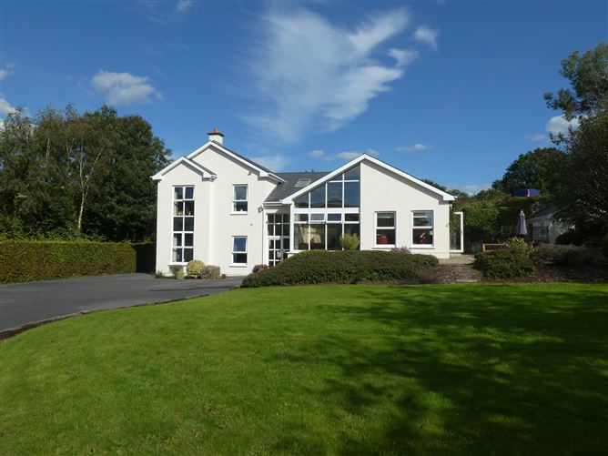 Enclosure in ClonmelshEnclosure · 510 yd
 CrossCross, High cross · 709 yd
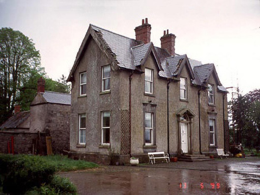 Garryhundon Househouse · 1400 yd
 Milford Locklock · 1.4 mi
 Pedunculate OakPedunculate Oak · 2.2 mi
 Graveyard in Tomard Lower (3 Detached Portions)Graveyard · 2.3 mi
 Common LimeCommon Lime · 2.4 mi
 Graiguealug Castle in ruinsCastle, unclassified · 2.7 mi
 Clogrenan CastleCastle, tower house · 2.8 mi
 Carlow County MuseumMuseum · 4.1 mi
 Carlow CastleRuined medieval castle · 4.2 mi