What is recorded here
Christiantide is a standing stone in County Donegal, Ireland, marked on the Ordnance Survey map with a question mark behind its name. The doubt belongs to the world, not the stone. It still stands while human certainty wavers, waiting for someone strong enough to stop asking whether it exists.
Depicted on the current edition of the Ordnance Survey 6-inch map in gothic script as 'Christiantide?'.
Compiled by: Caimin O'Brien
Date of upload/revision: : 19 July 2010
The monument record does not grant public access. Check the route and ask the landowner before entering private land.
- What survives
- Recorded monument
Places near here
 Tober Well (Site of)Holy well · 454 yd
 Listicall Upper Earthen RingfortFairy fort / earthen ringfort · 1522 yd
 bridgebridge · 1.4 mi
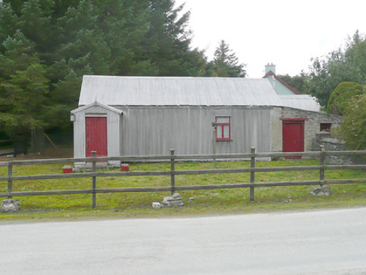 McCoo's Shopoffice, house · 1.4 mi
 CastleCastle, unclassified · 3.4 mi
 Emmery Celtic CrossWood · 4.1 mi
 Mongavlin CastleHouse, fortified house · 4.1 mi
 Grianán of AileachFairy fort / stone ringfort · 5.8 mi
 Greenan MountainMountain / peak · 5.8 mi
 RowanRowan · 5.9 mi
 Mongorry HillMountain / peak · 6.1 mi
 Mullanadee ShoreBeach / strand · 7.7 mi