What is recorded here
Childrens Burying Ground in County Galway, Ireland holds small set stones marking graves oriented SE-NW across thirty metres of open farmland. The western edge has surrendered some markers to field clearance, yet the dense alignment still distinguishes childhood from adult death. No wall surrounds the place, but the repeated shape of the stones draws a boundary the land itself remembers.
On a slight rise in level farmland. An unenclosed irregularly shaped area (N-S 30m, E-W 13.5m) occupied by a dense concentration of small set stones, indicating graves oriented SE-NW. In W sector, many of the graves are obscured by field clearance.
The above description is derived from the published 'Archaeological Inventory of County Galway Vol. II - North Galway'. Compiled by Olive Alcock, Kathy de hÓra and Paul Gosling (Dublin: Stationery Office, 1999).
Date of upload: 05 August 2010
The monument record does not grant public access. Check the route and ask the landowner before entering private land.
- What survives
- Recorded monument
Places near here
 Castle (in ruins)Castle, tower house · 273 yd
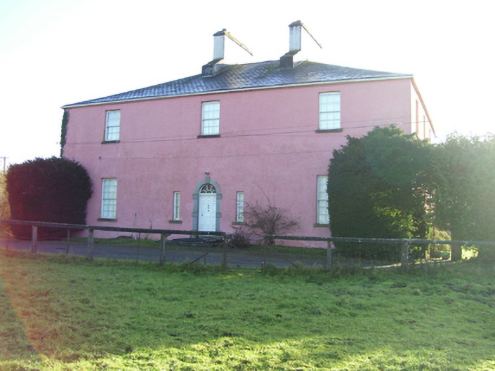 Birmingham Househouse · 379 yd
 Country house in Birmingham DemesneCountry house · 388 yd
 Enclosure in BracklaghEnclosure · 521 yd
 LisseenyFairy fort / earthen ringfort · 824 yd
 CastleCastle, unclassified · 2.0 mi
 European ashEuropean ash · 3.8 mi
 Mass RockNamed rock · 5.3 mi
 KnockmaaWood · 7.1 mi
 Kilcoona Round TowerHeritage attraction · 11 mi
 mill (wind)mill (wind) · 1566 yd
 Knockavanny Housedemesne walls/gates/railings · 1706 yd