
What is recorded here
Children's Burial Ground: A circular enclosure is depicted at this location on the first edition of the OS map, and is described as 'an earthen fort and burial ground for children' in the OSNB (Drummod, 7). The site overlooks Lough Currane from the SE facing slope of a ridge. The present remains arc disturbed and…
Read the whole record
From the National Monuments Service (Archaeological Survey of Ireland) record KE098-002001
Places near here
Photo credits
- Maker not stated on source page, www.pinterest.com
- Maker not stated on source page, www.letsgoireland.com
- National Inventory of Architectural Heritage
- Maker not stated on source page, www.flickr.com
- Maker not stated on source page, ru.wikipedia.org
- Kmcnamee, Wikimedia Commons · CC BY-SA 4.0
- Golfing in Ireland; photographer not stated, Source publisher
- Bernard Gagnon, Wikimedia Commons · CC BY-SA 4.0
- Matthew Chadwick, Wikimedia Commons · CC BY-SA 2.0
- Ian S, Wikimedia Commons · CC BY-SA 2.0
- Jonathan Thacker, Geograph · CC BY-SA 2.0
 Fairy fort / stone ringfort in TermonsFairy fort / stone ringfort · 857 yd
Explorer Tom Fairy fort / stone ringfort in Termons claims it's older than the concept of time itself, which is a stretch even for…
 Anomalous stone group in TermonsAnomalous stone group · 1202 yd
Explorer Tom Anomalous stone group in Termons is proud of its nine-stone lineup by the lake. It’s not on the maps, so it can do…
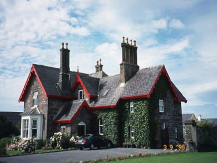 Iveragh LodgeHunting/fishing lodge · 1.2 mi
Explorer Tom Iveragh Lodge was built for hunting, but I bet the builder was just trying to impress his in-laws. It looks like an…
 Architectural fragment in Church Island (iveragh By., Loughcurrane Ed)Architectural fragment · 1.2 mi
Explorer Tom Architectural fragment in Church Island is a stone with a hollow, supposedly for shortcuts that don't exist. It’s just…
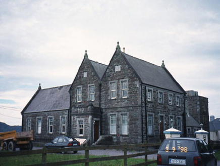 The Cable StationCoastguard station · 1.3 mi
Explorer Tom Another Cable Station, this time in Spunkane, had a fiddler play all night to keep the ghosts away. It’s been a…
 Enclosure in An Mhuiríoch (tc An Timleach)Enclosure · 1.3 mi
Explorer Tom Enclosure in An Mhuiríoch had a fox take charge and demand tribute from the local sheep for a week. It’s just a square…
 Waterville GAA pitchGAA ground · 1.4 mi
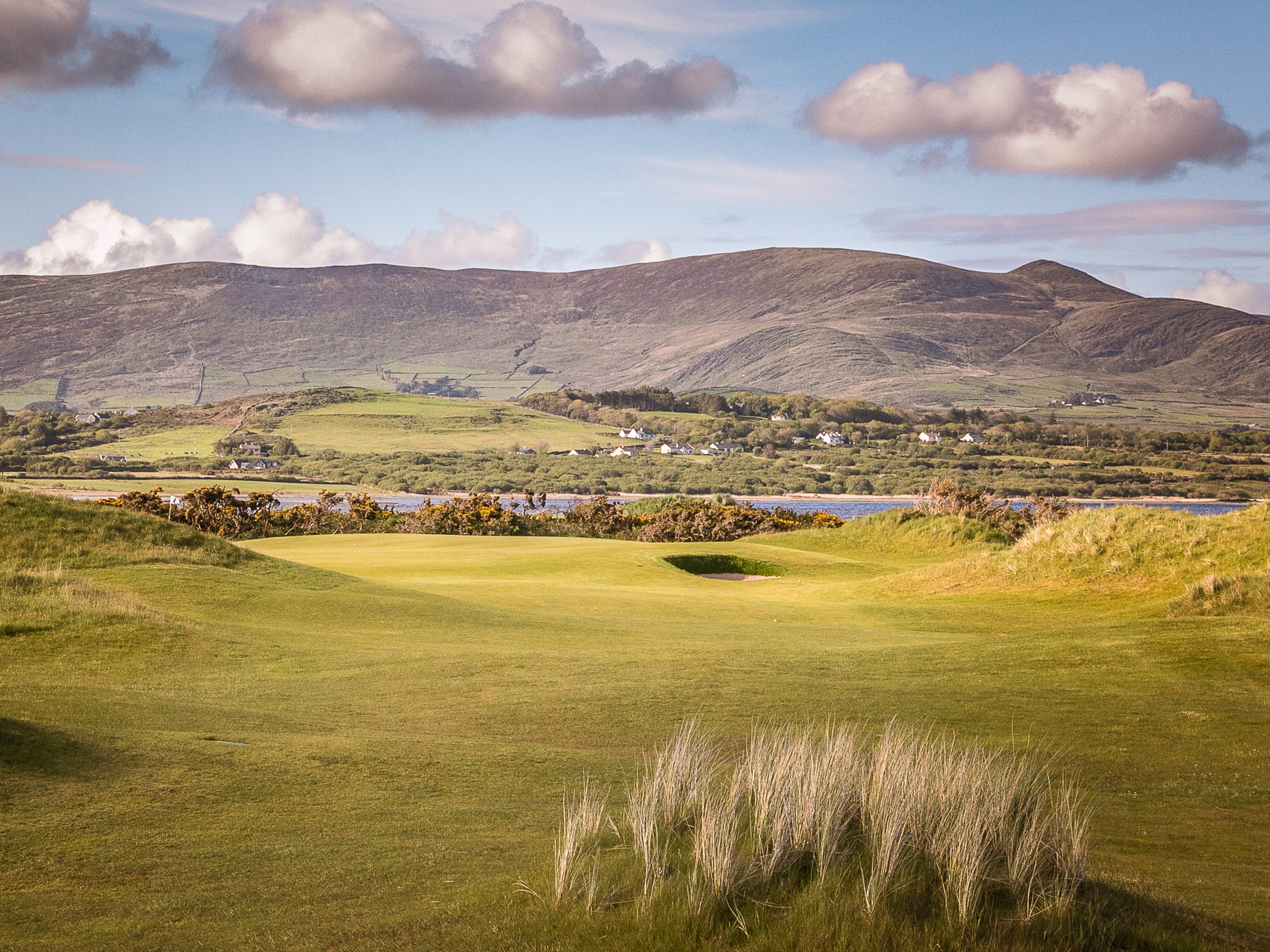 Waterville Golf ClubGolf course · 1.4 mi
 Church of Saint Michael and All Angels (Dromod)Church/chapel · 1.5 mi
Explorer Tom Church of Saint Michael and All Angels in Spunkane does weird stuff when nobody’s looking, like rearranging its own…
 Butler MemorialMemorial · 1.5 mi
Explorer Tom Butler Memorial in County Kerry took about four hundred cups of tea to build, or at least that's what the masons…
 Charlie ChaplinStatue · 1.6 mi
Explorer Tom Charlie Chaplin in County Kerry makes a strange whistling sound at night when the wind blows through its bowler hat…
 Waterville PromenadeWalking route · 1.7 mi
Explorer Tom Waterville Promenade handles nosey neighbours by simply shifting its stones so they can't find their way back to the…
More archaeology and monuments in County Kerry · All of County Kerry

What do you know about this place?Tap to add a comment or ask a question