What is recorded here
In pasture, associated with a church (MA093-045001-).
A rectangular area (c. 17m E−W; c. 12m N−S), outlined by a dashed line, is named ‘Children’s Burial Gd.’ on the 1916 OS 6-inch map. Its original extent is no longer clear at ground level. It appears to have surrounded the ruined church, but a commercial gravel quarry has encroached to within 15m of the W wall and 2m of N wall of the church, and has more than likely truncated the burial ground. No grave markers are visible.
Compiled by: Jane O’Shaughnessy
Date of upload: 29 June 2022
The monument record does not grant public access. Check the route and ask the landowner before entering private land.
- What survives
- Recorded monument
Places near here
 Enclosure in KilmanninEnclosure · 274 yd
 IndicatedFairy fort / earthen ringfort · 881 yd
 Ballyhaunis Courthousecourt house · 1113 yd
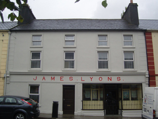 James Lyonshotel · 1129 yd
 CastleCastle, unclassified · 1.9 mi
 Rath Castle in ruinsCastle, tower house · 5.2 mi
 East Mayo Brigade MonumentMemorial · 7.1 mi
 Oak WoodForest · 10 mi
 Land of the GiantsHeritage attraction · 10 mi
 Kiltimagh MuseumMuseum · 11 mi
 I'll Send You The FareMemorial · 11 mi
 Geoffrey's WoodForest · 11 mi