What is recorded here
Childrens Burial Ground (Disused) is a featureless scrub circle forty-seven metres across in County Laois, Ireland. It appeared on maps only in 1909 after decades of invisibility, suggesting local people knew the boundary long before surveyors drew it. The absence of walls or markers does not empty the place; it refuses display. Kids may have played there before adults stopped naming the deaths buried beneath the grass.
Not marked on 1841 or 1888 eds OS 6-inch maps, but marked 'Childrens Burial Ground' (Disused) in plain script on 1909 edition Featureless area of scrub land (diam. c. 47m) with no obvious enclosing element.
The above description is derived from the published 'Archaeological Inventory of County Laois' (Dublin Stationery Office, 1995) compiled by P. David Sweetman, Olive Alcock and Bernie Moran. In certain instances the entries have been revised and updated in the light of recent research.
Date of upload: 17 December 2007
The monument record does not grant public access. Check the route and ask the landowner before entering private land.
- What survives
- Recorded monument
Places near here
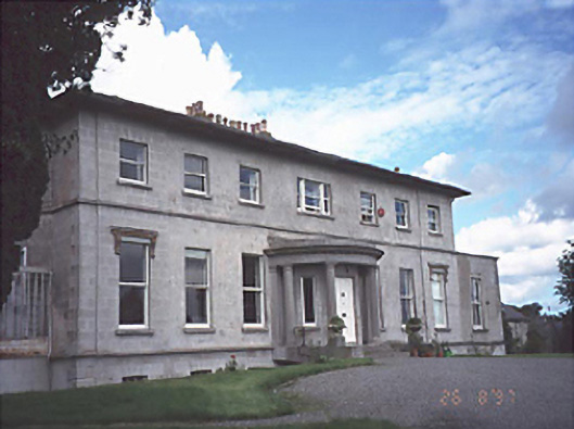 Rath Househouse · 229 yd
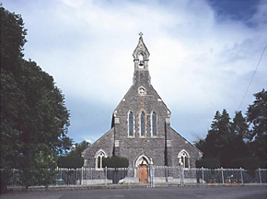 Catholic Church of the Sacred Heartchurch/chapel · 870 yd
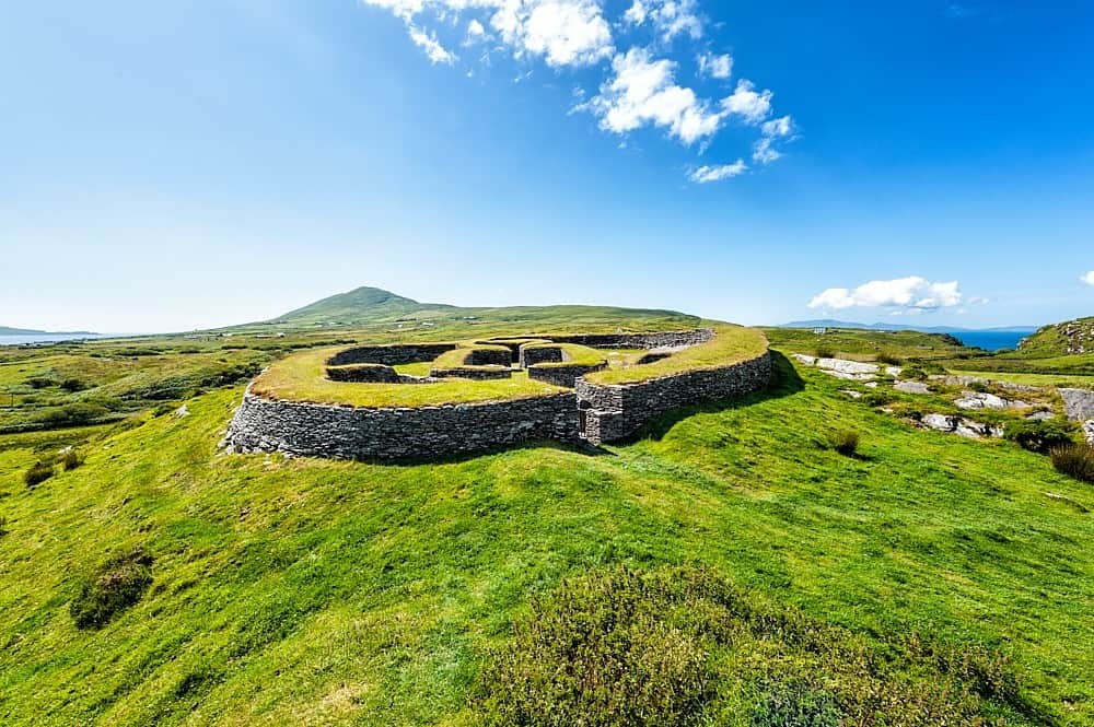 Enclosure in KilbrackanEnclosure · 1058 yd
 Enclosure in BellegroveEnclosure · 1513 yd
 OutlinedCastle, unclassified · 1.2 mi
 Dangan's WoodWood · 1.9 mi
 Green's WoodForest · 2.1 mi
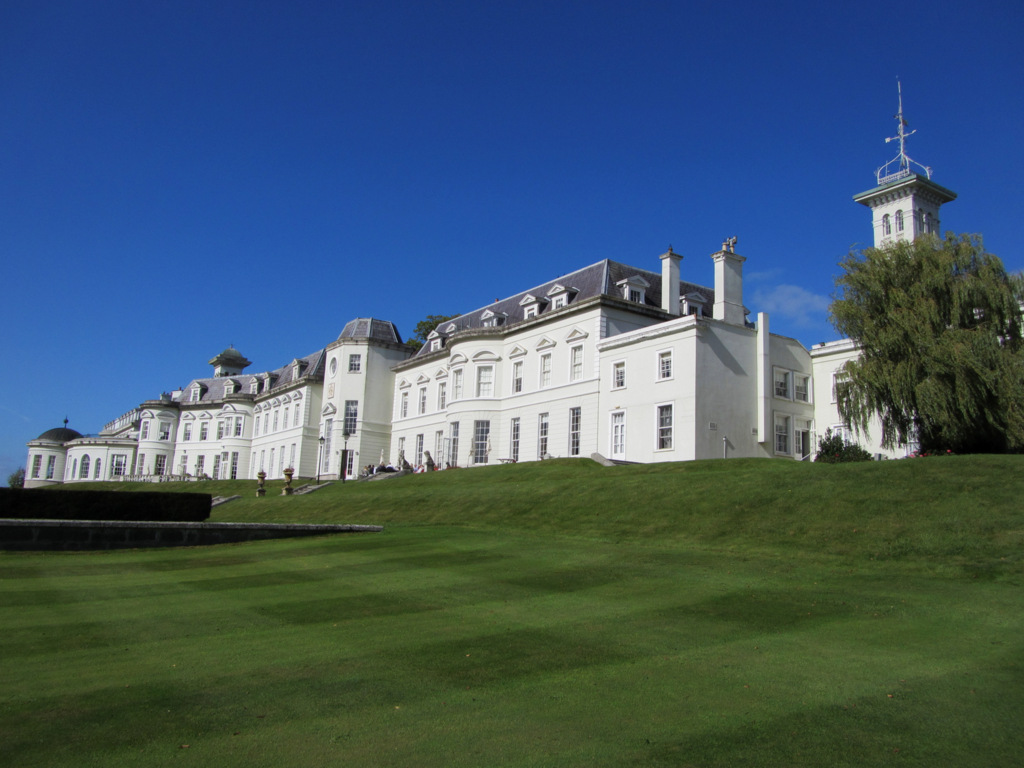 Cloney CastleCastle, unclassified · 3.6 mi
 Church (in Ruins), GraveyardChurch · 3.7 mi
 Emo CourtHeritage attraction · 3.8 mi
 Bog Lake WalkWalking route · 6.2 mi
 Bog Oak WalkWalking route · 6.5 mi