
What is recorded here
Children's Burial Ground in County Cork, Ireland, appears on an 1842 map as a disused wedge-shaped slope where several gravemarkers still emerge, including a broken cross-slab shaft. Ryan recorded it as a famine burial ground, suggesting the children may have joined adults in that final crisis rather than occupying a separate sacred space. The scarp and field fence still contain the area, preserving a brutal clarity about who was lost and when the community stopped having time for ceremony.
Marked 'Children's Burial Ground' on OS 6-inch map (1842). On E-facing slope. Wedge-shaped area (35.5m N-S; Wth 38m N end, 19m E end) defined to W by field fence and on other sides by scarp (max. H 1.05m). According to Ryan (1946, 192), also used as 'famine burial ground'. Several gravemarkers noted; one is a portion of the shaft of a cross-slab (CO149-001001-).
The above description is derived from the published 'Archaeological Inventory of County Cork. Volume 1: West Cork' (Dublin: Stationery Office, 1992). In certain instances the entries have been revised and updated in the light of recent research.
Date of upload/revision: 14 January 2009
Wedge tomb; likely dates to the Bronze Age. Its form and location suggest a ritual or communal burial function, typical of such tombs in the region.
The monument record does not grant public access. Check the route and ask the landowner before entering private land.
- What survives
- Recorded monument
Places near here
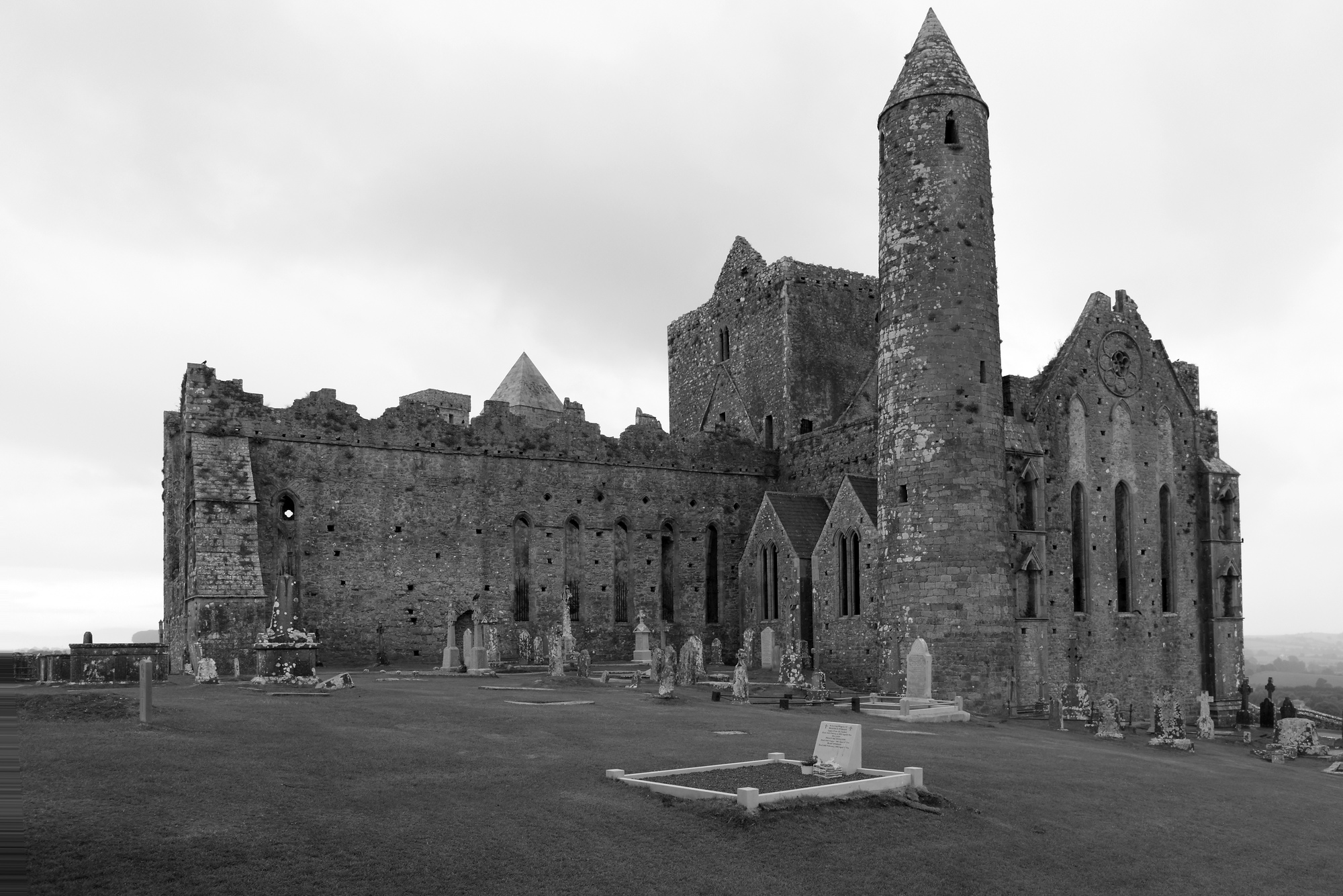 Mass-rock in CoosheenMass-rock · 47 yd
 Bawn in ArdintenantBawn · 395 yd
 Burial Gd (Disused)Burial ground · 932 yd
 Mountgabriel MillsMine, barytes · 1175 yd
 Schull HarbourBay · 1305 yd
 Coosheen PointHeadland · 1308 yd
 Cadogan's StrandHeritage attraction · 1606 yd
 Schull "An Taisce"Visitor information · 1645 yd
 Castle (in Ruins)Castle, tower house · 1.1 mi
 McCarthy's Garagehouse · 1.2 mi
 Sailor's HillViewpoint · 1.4 mi
 Carthy's Island NorthIslet · 1.9 mi
Other information
Photo: Credit not shown in the picture search · Rights wording not checked; contact us if this picture should be removed