What is recorded here
Children's Burial Gd: unknown child deaths, likely seasonal or travel-related. Overlooked harbour, exposed slope, pasture use. Small area suggests limited duration or community. No markers means memory lived in story, not stone.
In pasture, on break in SE-facing slope overlooking Rincolisky Harbour. Shown as oval area on OS 6-inch map (1842). Irregular area (17m N-S; c. 35m E-W) defined by light overgrowth; scarp (H c. 0.3m) to SSE. No grave markers noted.
The above description is derived from the published 'Archaeological Inventory of County Cork. Volume 1: West Cork' (Dublin: Stationery Office, 1992). In certain instances the entries have been revised and updated in the light of recent research.
Date of upload/revision: 14 January 2009
The monument record does not grant public access. Check the route and ask the landowner before entering private land.
- What survives
- Recorded monument
Places near here
 Goose IslandIslet · 832 yd
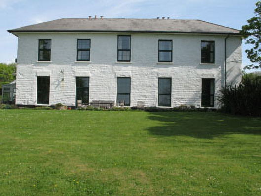 White Hallhome farm · 1167 yd
 KilnKiln, lime · 1199 yd
 Trá na gCruachBeach / strand · 1247 yd
 Children's burial ground in Ardagh (carbery West (e.d.) By., Aghadown Par.)Children's burial ground · 1285 yd
 Rincolisky Castle (in Ruins)Castle, tower house · 1287 yd
 Rincolisky CastleCastle · 1290 yd
 IllaungawnaIslet · 1492 yd
 Cuaisín na nÚbhallBay · 1574 yd
 Tobar Chuas an UisceSpring · 1617 yd
 Hut site in TurkheadHut site · 1648 yd
 Cuas an UisceBay · 1666 yd