What is recorded here
On a rise in grassland. Poorly preserved irregularly shaped CBG (E-W 12m, N-S 3m) defined by a scarp at E, and at N and S by the natural slope; from SW through W to NW quarrying has disturbed the monument. The majority of the grave-markers consist of small moss-covered limestone blocks aligned N-S
The above description is derived from the published 'Archaeological Inventory of County Galway Vol. II - North Galway'. Compiled by Olive Alcock, Kathy de hÓra and Paul Gosling (Dublin: Stationery Office, 1999).
Date of upload: 05 August 2010
Children's Burial Group, likely dating to the Neolithic or Early Bronze Age, associated with megalithic funerary traditions. Its partial destruction limits assessment of wider regional significance.
The monument record does not grant public access. Check the route and ask the landowner before entering private land.
- What survives
- Recorded monument
Places near here
 Quarry in CappataggleQuarry · 41 yd
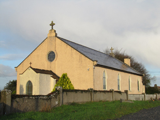 Saint Michael's Catholic Churchchurch/chapel · 778 yd
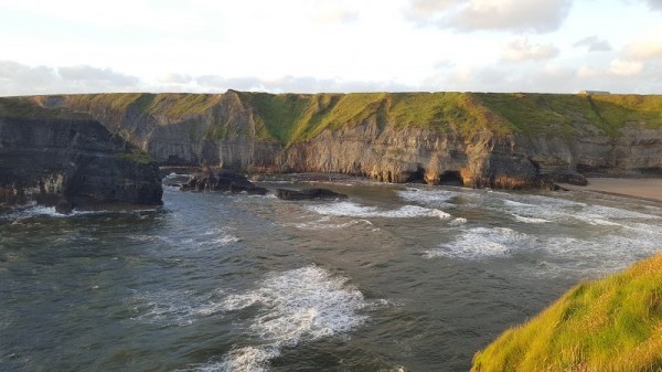 Man-made underground passage in Ballinphuill (killallaghtan Ed)Man-made underground passage · 1603 yd
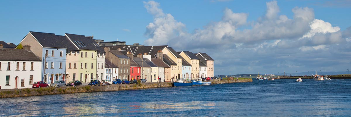 LisnarupFairy fort / earthen ringfort · 1738 yd
 CastleCastle, unclassified · 2.7 mi
 Site of Lisnamoltaun CastleCastle, unclassified · 2.8 mi
 Kilconnell AbbeyHeritage attraction · 3.7 mi
 Oak WoodWood · 3.8 mi
 Battle of Aughrim Interpretative CentreMuseum · 3.9 mi
 Battle of AughrimMajor battlefield · 4.0 mi
 The bloody HollowHeritage attraction · 4.2 mi
 Large-leaved LimeLarge-leaved Lime · 4.3 mi