
What is recorded here
Childrens Burial Gd stands half a metre above the western shore of Ballydivlin Bay, holding numerous markers within a subrectangular space. Local memory claims famine victims rest here alongside two nearby mounds, while an excavated passage lies just to the west. The children may have belonged to the coastal families who watched ships pass or starved during the famine, but the bay keeps their names safe from forgetfulness.
Overlooking Ballydivlin Bay to W. Subrectangular, slightly raised area (H 0.5m; 22m E-W; 34.5m N-S); depicted as rectangular area on OS 6-inch map (1842), roughly circular area on 1902 map. Numerous grave markers noted. Said locally that famine victims buried here and in two mounds close by to SE. Excavated Man-made underground passage (CO147-015001) nearby to W.
The above description is derived from the published 'Archaeological Inventory of County Cork. Volume 1: West Cork' (Dublin: Stationery Office, 1992). In certain instances the entries have been revised and updated in the light of recent research.
Date of upload/revision: 14 January 2009
The monument record does not grant public access. Check the route and ask the landowner before entering private land.
- What survives
- Recorded monument
Places near here
 Ballyrisode PointHeadland · 388 yd
 Ballyrisode WoodWood · 1299 yd
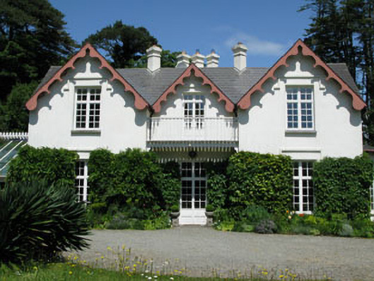 Ballyrisode Househouse · 1361 yd
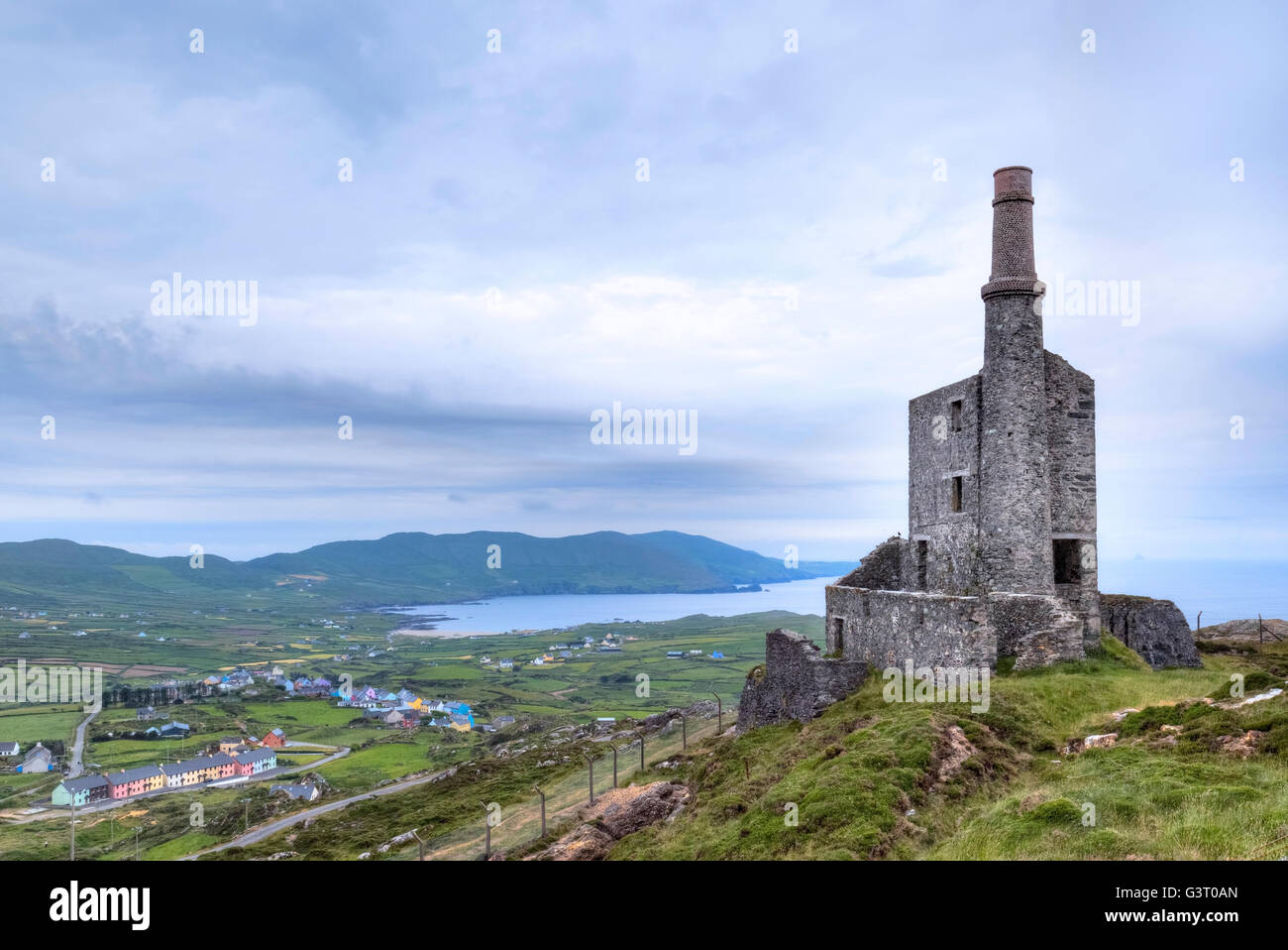 MineMine, copper · 1364 yd
 Wedge tomb in BallyrisodeWedge tomb · 1366 yd
 Burial ground in BallyrisodeBurial ground · 1507 yd
 AltarViewpoint · 1.2 mi
 Dick's IslandIslet · 1.3 mi
 KnockaphucaMountain / peak · 1.6 mi
 Green IslandIslet · 1.7 mi
 Castle (in Ruins)Castle, tower house · 1.7 mi
 Dunmanus Castle (in Ruins)Castle, tower house · 2.5 mi
Other information
Photo: Credit not shown in the picture search · Rights wording not checked; contact us if this picture should be removed