What is recorded here
Situated in a gently undulating landscape. An area of sub-surface archaeological features was identified by Ian Russell in centre-line testing (02E0108) for the M4 Dublin to Galway motorway and set aside as Ardnamullan 1. Excavation (02E1147) revealed two rectangular (dims 1.6m x 0.9m; D 0.1m: 2.5m x 1.5m; D 0.25m) pits, interpreted as charcoal-making pits, and two subcircular (dims 0.7m x 0.4m; D 0.12m: 1m x 0.6m; D 0.2m) pits cut in the subsoil and truncated by furrows, which could have been bloom smithing hearths. All the pits contained charcoal flecks or oxidized clay, and a fragment of burnt bone and a single piece of waste flint were recovered from the smaller rectangular pit. The charcoal-making pits produced a C14 date of Cal. AD 1020-1250. (Linnane 2004)`
Compiled by: Michael Moore
Date of upload: 13 August 2019
The monument record does not grant public access. Check the route and ask the landowner before entering private land.
- What survives
- Recorded monument
Places near here
 Ardnamullan CastleCastle, tower house · 562 yd
 Chapel of EaseChapel · 1.1 mi
 Queen Marys CastleCastle, tower house · 1.1 mi
 Kinnegad Bridgebridge · 1.3 mi
 OutlinedFairy fort / earthen ringfort · 1.7 mi
 Font (present location) in TowlaghtFont (present location) · 2.0 mi
 Abandoned Kinnegad CanalWood · 2.8 mi
 Croppies' GraveMemorial · 2.8 mi
 Rahin WoodsForest · 3.0 mi
 Sli na Slainte - mapVisitor information · 13 mi
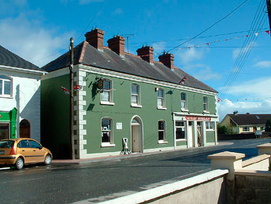 J.C. Donnellyhouse · 1.4 mi
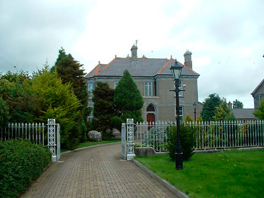 Catholic Church of the Assumptionpresbytery/parochial/curate's house · 1.5 mi