What is recorded here
Excavated (98E0575) as Area 21 of the N25 Kilmacthomas re-alignment. A single straight-sided and flat-bottomed pit (dims. 1.8m NW-SE; 1.4m NE-SW; D 0.8m) contained charcoal, iron salg, burnt clay and sandstone fragments. (Tierney 2008)
Compiled by: Michael Moore.
Date of upload: 17th December, 2010.
The monument record does not grant public access. Check the route and ask the landowner before entering private land.
- What survives
- Recorded monument
Places near here
 Field boundary in AhanagloghField boundary · 26 yd
 Fulacht fia in AhanagloghFulacht fia · 80 yd
 Castle (in ruins)Castle, unclassified · 1199 yd
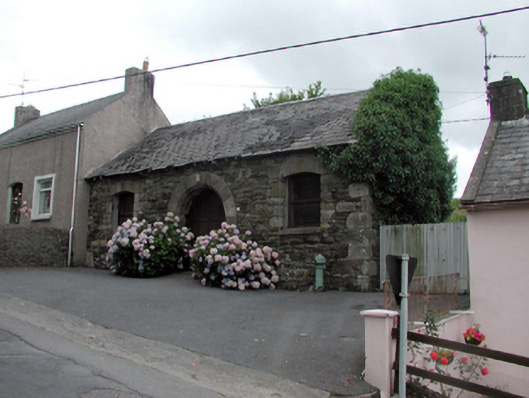 Historic buildingOfficially recorded historic building · 1.2 mi
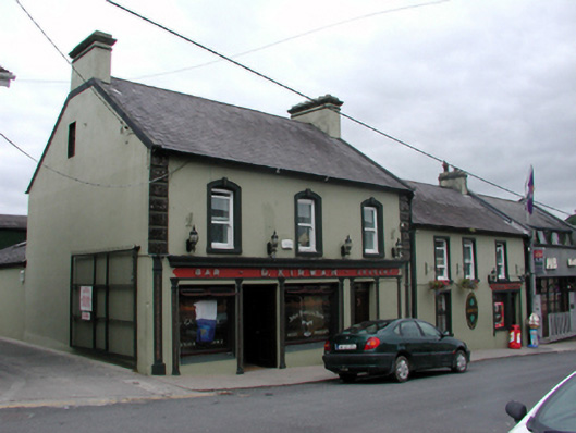 D. Kirwanhouse · 1.2 mi
 8 Arch GalleryGallery · 1.3 mi
 Site of Cas.Castle, unclassified · 1.3 mi
 Crough WoodWood · 3.2 mi
 Magic Road (finish)Heritage attraction · 3.9 mi
 Croughaun HillMountain / peak · 4.0 mi
 Kilclooney WoodForest · 4.1 mi
 Ballydowane CoveBeach / strand · 4.6 mi