What is recorded here
In Douglas, on E-side of road to graveyard (CO074-097---). Shown on 1842 OS 6-inch map as subrectangular area (c. 65m N-S; c. 30m E-W) with Watch House on E periphery. Now extended to E to form rectangular area (c. 65m N-S; c. 130m E-W) enclosed by stone wall. Bishop Dive Downes, in 1699 (Lunham 1909, 169) records 'a burying place in an open field 'where the foundations of a church could still be seen. According to Foley (1991, 39) this church was at the W side of the graveyard where some carved stones were found. Present R.C. Chapel (St Columbas) is c. 70m to S; extended 1907 (Foley 1991, 39)
The above description is derived from the published 'Archaeological Inventory of County Cork. Volume 2: East and South Cork' (Dublin: Stationery Office, 1994). In certain instances the entries have been revised and updated in the light of recent research.
Date of upload/revision: 14 January 2009
The monument record does not grant public access. Check the route and ask the landowner before entering private land.
- What survives
- Recorded monument
Places near here
 St Luke's Church of Ireland Churchchurch/chapel · 47 yd
 CemeteriesGraveyard · 49 yd
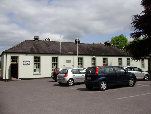 John Slye Scout Hallschool · 171 yd
 Grey GalleryGallery · 256 yd
 Be Framed Fine Art GalleryGallery · 423 yd
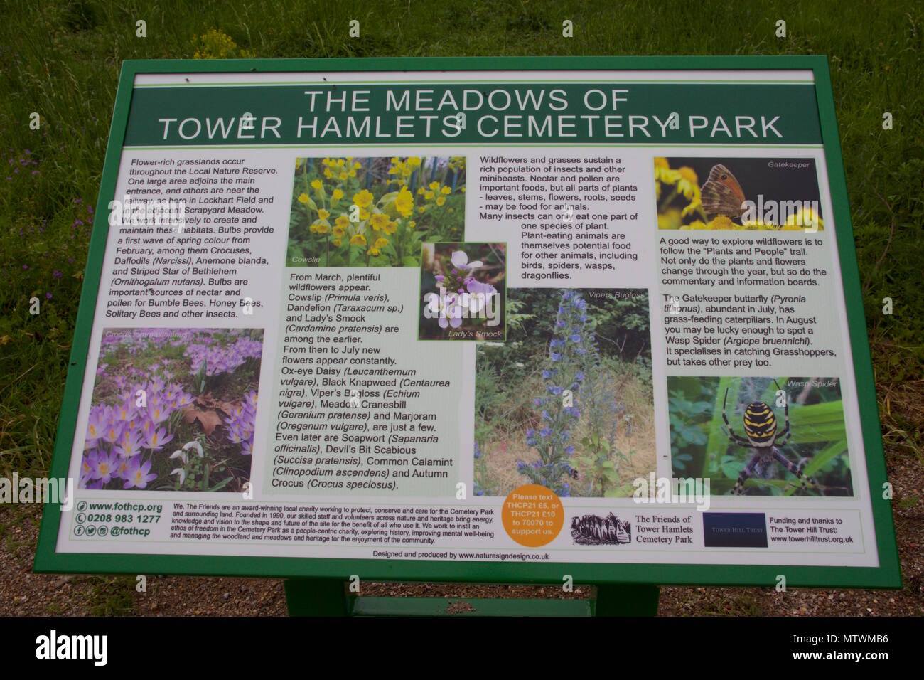 Wildlife and plant information boardsVisitor information · 459 yd
 IndicatedFairy fort / earthen ringfort · 892 yd
 Goat IslandIslet · 1047 yd
 Ballybrack WoodsWood · 1099 yd
 Rosebank ParkFort · 1491 yd
 Mulcon ValleyWood · 1.1 mi
 Cork WalksVisitor information · 2.2 mi