What is recorded here
Douglas cemetery began as an open field where Bishop Dive Downes saw church foundations in 1699, but it has grown into a stone-walled rectangle beside the road. The old watch house, carved stones and nearby St Columbas chapel suggest that death, memory and local faith have repeatedly reshaped this ground.
In Douglas, on E-side of road to graveyard (CO074-097---). Shown on 1842 OS 6-inch map as subrectangular area (c. 65m N-S; c. 30m E-W) with Watch House on E periphery. Now extended to E to form rectangular area (c. 65m N-S; c. 130m E-W) enclosed by stone wall. Bishop Dive Downes, in 1699 (Lunham 1909, 169) records 'a burying place in an open field 'where the foundations of a church could still be seen. According to Foley (1991, 39) this church was at the W side of the graveyard where some carved stones were found. Present R.C. Chapel (St Columbas) is c. 70m to S; extended 1907 (Foley 1991, 39)
The above description is derived from the published 'Archaeological Inventory of County Cork. Volume 2: East and South Cork' (Dublin: Stationery Office, 1994). In certain instances the entries have been revised and updated in the light of recent research.
Date of upload/revision: 14 January 2009
The monument record does not grant public access. Check the route and ask the landowner before entering private land.
- What survives
- Recorded monument
Places near here
 St Luke's Church of Ireland Churchchurch/chapel · 47 yd
 CemeteriesGraveyard · 49 yd
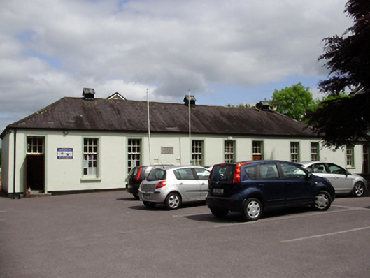 John Slye Scout Hallschool · 171 yd
 Grey GalleryGallery · 256 yd
 Be Framed Fine Art GalleryGallery · 423 yd
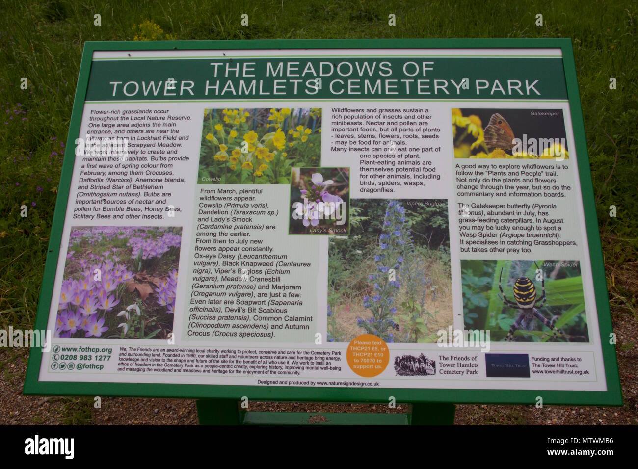 Wildlife and plant information boardsVisitor information · 459 yd
 IndicatedFairy fort / earthen ringfort · 892 yd
 Goat IslandIslet · 1047 yd
 Ballybrack WoodsWood · 1099 yd
 Rosebank ParkFort · 1491 yd
 Mulcon ValleyWood · 1.1 mi
 Cork WalksVisitor information · 2.2 mi