What is recorded here
A Registered Historic Monument (No. 2/2009). In a slight hollow on a gentle S-facing slope at the S end of a low, N-S pasture ridge. The Man-made underground passage complex lies in the adjoining field immediately SW of a possible early ecclesiastical site (KD024-003005-) on which a medieval church (KD024-003002-) and graveyard (KD024-003004-) stand. According to Beauford (1789, 84), 'On the west end of the church [KD024-003002-] under a rising ground are a number of subterraneous artificial caves, in a dry sandy soil, with pediment roofs, and communicating with each other by small apertures. One of these caves, near the church, had its sides composed of stone, and covered with flat stones, in which was found part of a quern and the bones of some fowls. The other caves have no other wall or covering than the native earth.' Moore (1918-19, 198) explored the 'caves’ in 1881 and described them as consisting of four branches; 'The passages were clean cut in sand, and the roof was well tapered.' No visible surface trace was evident in 2001, but in 2009 the Man-made underground passage was rediscovered when a small portion of a passage collapsed under the weight of passing farm machinery (pers. comm. Mr. Brian McCabe).
Compiled by: Gearóid Conroy
Date of upload: 07 June 2012
The monument record does not grant public access. Check the route and ask the landowner before entering private land.
- What survives
- Recorded monument
Places near here
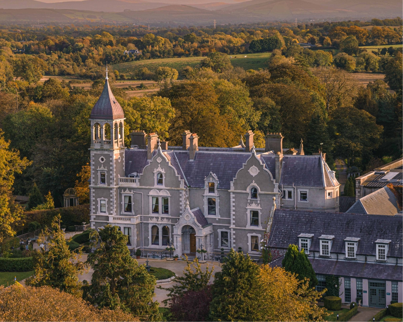 Church in Killashee (killashee Ed)Church · 94 yd
 Site of CastleCastle, unclassified · 154 yd
 St Patricks WellHoly well · 464 yd
 Enclosure in Killashee (killashee Ed)Enclosure · 566 yd
 CastleCastle, unclassified · 1.2 mi
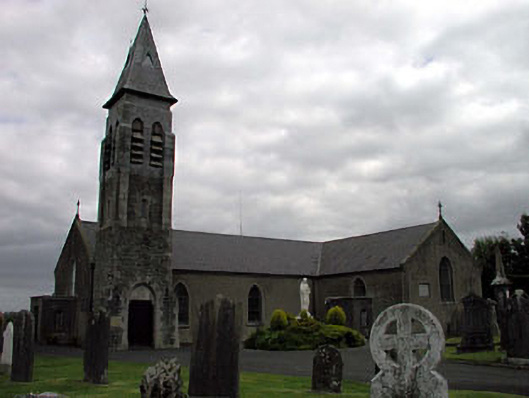 Saint Peter's Catholic Churchchurch/chapel · 1.6 mi
 Poplar SquarePicnic place · 2.2 mi
 Sillagh Bog WoodForest · 2.3 mi
 Monread District Park WoodsWood · 3.0 mi
 Museum of MotorsportMuseum · 5.5 mi
 Cupidstown HillMountain / peak · 7.8 mi
 OldcourtMemorial · 8.4 mi