What is recorded here
This Man-made underground passage, marked 'Cave' on the second edition of the OS map, is located in rough pasture on the NW side of Coongar Harbour. Its lintelled entrance faces S and measures .9m x .3m. It gives access to a drystone-built passage which is aligned N-S and measures c. 3m long and 1.1m wide. Its side-walls are crudely built and much collapsed. One of its roofing slabs has collapsed and blocks its inner end. A small group of boulders on the surface, 4m NW of the entrance, may indicate an extension of the Man-made underground passage in this direction.
The above description is derived from A. O'Sullivan and J. Sheehan (compilers), 'The Iveragh peninsula: an archaeological survey of South Kerry'. Cork University Press (1996), no. 904. In certain instances the entries have been revised and updated in the light of recent research.
Date of upload: 29 July 2013
The monument record does not grant public access. Check the route and ask the landowner before entering private land.
- What survives
- Recorded monument
Places near here
 Indicated (1895-6).Enclosure · 667 yd
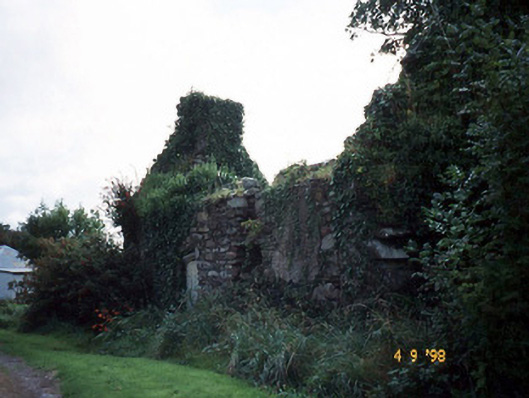 Tahilla Catholic Chapelchurch/chapel · 709 yd
 BallynahaglishEcclesiastical enclosure · 856 yd
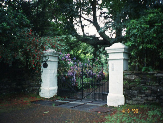 Glashnacree Househouse · 1.2 mi
 Rossmore IslandIsland · 1.3 mi
 Rossdohan IslandIsland · 2.3 mi
 Sneem Commemoration PlaqueMemorial · 3.0 mi
 De Gaulle MemorialMonument · 3.2 mi
 KnockateeMountain / peak · 3.9 mi
 Lackeen PointHeadland · 4.0 mi
 EskineMountain / peak · 4.2 mi
 Habitat of DerreeniesNature reserve · 4.5 mi