What is recorded here
In W half of a ringfort (GA057-143----). A poorly preserved partially collapsed Man-made underground passage, L-shaped in plan. It is indicated by a shallow curving hollow (L 11m) which extends from the inner face of the bank of the ringfort and runs E-W. Some exposed roof lintels and traces of N side-wall are visible. At E end, a slightly raised area (L 5.5m) continues further E before turning S (L 11m). This may be the remains of an intact chamber or passage.
The above description is derived from the published 'Archaeological Inventory of County Galway Vol. II - North Galway'. Compiled by Olive Alcock, Kathy de hÓra and Paul Gosling (Dublin: Stationery Office, 1999).
Date of upload: 05 August 2010
The monument record does not grant public access. Check the route and ask the landowner before entering private land.
- What survives
- Recorded monument
Places near here
 IndicatedFairy fort / ringfort · 20 yd
 Field system in CarheenshowaghField system · 415 yd
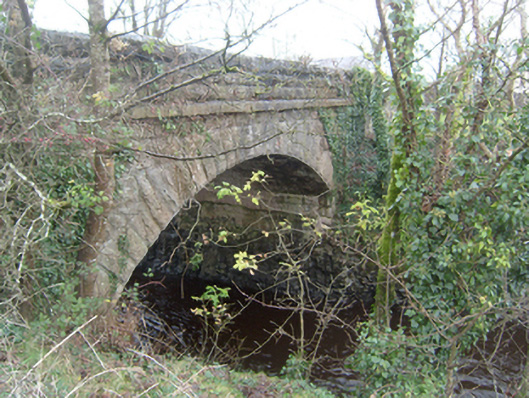 Corrofin Bridgebridge · 1629 yd
 Corrofin CastleCastle · 1632 yd
 Castle (in ruins)Castle, tower house · 1668 yd
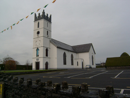 Saint Colman's Catholic Churchchurch/chapel · 1734 yd
 KnockmaaWood · 4.1 mi
 Common WhitebeamCommon Whitebeam · 5.2 mi
 Kilcoona Round TowerHeritage attraction · 6.1 mi
 Mass RockNamed rock · 6.1 mi
 Ballinduff BayBay · 7.5 mi
 Oileán an AoilIsland · 9.4 mi