What is recorded here
Located towards the bottom of a steep S-facing slope of Slane Hill. A Man-made underground passage is said to have fallen in c. 1910 and it is marked on the 1836 and 1908 editions of the OS 6-inch map where it is described as a ‘Cave’. It was still open but inaccessible in 1939. In 1968 it was described (SMR file) as a circular chamber (diam. 3.45m; H c. 2m) the floor of which was covered in debris but no passage was visible. It had a corbelled roof closed with a single large roofstone (diam. 0.6m; T 0.15m). Archaeological testing (95E0106) by R. Meenan c. 70-120m distant SE-SSW produced no related material (excavations.ie 1995:235).
The above description is derived from the published 'Archaeological Inventory of County Meath' (Dublin: Stationery Office, 1987). In certain instances the entries have been revised and updated in the light of recent research.
Compiled by: Michael Moore
Date of upload: 10 July 2007
Amended: 28 January 2021
The monument record does not grant public access. Check the route and ask the landowner before entering private land.
- What survives
- Recorded monument
Places near here
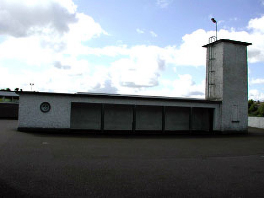 Saint Patrick's National Schoolwater tower · 354 yd
 Vaughey's WoodWood · 425 yd
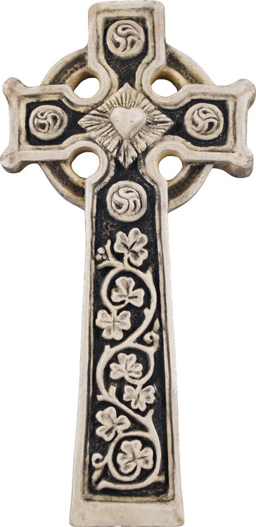 Slane Abbey CrossMonument · 485 yd
 Monastic RuinsChurch · 495 yd
 MonasteryEcclesiastical residence · 495 yd
 Mountcharles ClumpWood · 574 yd
 MoatCastle, motte · 683 yd
 Pat's Art StudioGallery · 954 yd
 RiverviewMemorial · 1259 yd
 Fennor CastleCastle · 1.1 mi
 KnowthArchaeological place · 2.1 mi
 Hurcle HillMountain / peak · 3.7 mi