What is recorded here
Just off the top of a rise at a bend in the Arrow or Unshin River. A depression (7.5m NW-SE; 3m NE-SW) with two lintels visible, one of which measures 1.3m x 0.8m. Described by O'Rorke (1878, 97) as 'greatly dilapidated' but consisting of 'two rude walls covered with flags stretched lengthwise from wall to wall'. A cashel (SL020-218004-) lies immediately to E and another (SL020-218002-) is c. 30m to SE.
The above description is derived from the published 'Archaeological Inventory of County Sligo' compiled by Ursula Egan, Elizabeth Byrne, Mary Sleeman with Sheila Ronan and Connie Murphy (Dublin Stationery Office, 2005).
Date of upload: 18 January 2008
The monument record does not grant public access. Check the route and ask the landowner before entering private land.
- What survives
- Recorded monument
Places near here
 CashelFairy fort / stone ringfort · 56 yd
 St. Patricks WellHoly well · 192 yd
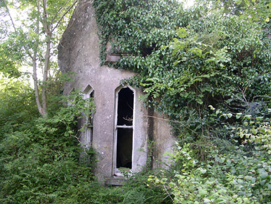 Markree Castlegate lodge · 1108 yd
 Church in BallydawleyChurch · 1170 yd
 CastleCastle, motte and bailey · 1252 yd
 Union RockForest · 1529 yd
 European ashEuropean ash · 1637 yd
 Battle of Collooneybattle · 1.2 mi
 Teeling MonumentMemorial · 1.2 mi
 Castle (in Ruins)Castle, tower house · 1.8 mi
 Giants GraveArchaeological place · 2.1 mi
 BunreecoillMountain / peak · 2.5 mi