
What is recorded here
Located in the NW quadrant of rath (MO029-026001-) are the remains of a Man-made underground passage, which is visible now as a sunken area (dims 7m WNW-ESE; 1m N-S; D 1m). A lintel is visible at the W end but the passage is inaccessible. The Man-made underground passage is described (Coffey and Jamison 1897) as ‘at the entrance the passage is from 2’ 6” to 3’ wide at the floor level, and 1’ 10” at the top by from 2’6” to 3’ in height. It runs straight for a distance of 15 feet (c. 4.6m) with a fall of about 1’6” increasing in height from 4’ to 4’6”. At 15 feet the passage turns at right angles to the left. The entrance to this second passage…is narrowed to 1’8”. The second passage runs for 36 feet (c. 11m) falling about 2’6”. It terminates in a semicircular end. The end is slightly swelled in plan, but there is no chamber distinct from the passage. Half way down, the passage is 3’10” wide and 4’9” high, at the end it is 4’6” wide by 4’7” high. At the turn at the end of the first passage, two small recesses are formed in the wall facing the entrance, at the right hand corner. The lower recess is on the ground level, and is 1 foot wide and 1 foot high. The upper recess is immediately under the roofing flags, it being but 6 inches wide by 8 inches high. These recesses appear to be some 2 feet deep, but owing to the loose construction of the wall it is difficult to determine whether the ends are built up. At first sight, the lower opening looks like a drain and the upper perhaps a ventilation shaft.’
The above description is derived from the published 'Archaeological Inventory of County Monaghan' (Dublin: Stationery Office, 1986). In certain instances the entries have been revised and updated in the light of recent research.
Date of revision: 29 August 2017
The monument record does not grant public access. Check the route and ask the landowner before entering private land.
- What survives
- Recorded monument
Places near here
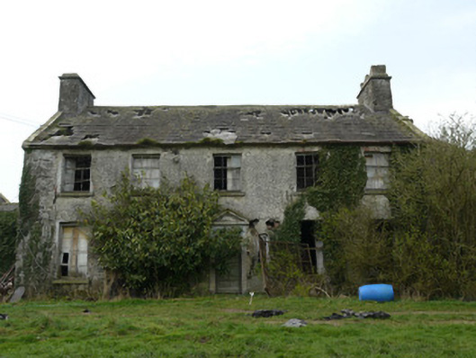 Rocksavagecountry house · 579 yd
 bridgebridge · 1091 yd
 Enclosure in EdenamoEnclosure · 1401 yd
 IndicatedEcclesiastical enclosure · 1.0 mi
 Mannan Castle (in ruins)Castle, Anglo-Norman masonry castle · 3.6 mi
 Mount AshCastle, motte · 4.2 mi
:no_upscale()/cdn.vox-cdn.com/uploads/chorus_asset/file/25593391/County_Louth_6th.jpg) LouthMountain / peak · 4.9 mi
LouthMountain / peak · 4.9 mi TobernagalliaghSpring · 4.9 mi
 KnockreaghMountain / peak · 5.0 mi
 Horse-chestnutHorse-chestnut · 5.1 mi
 Ballsmill Amenity LandPicnic place · 6.4 mi
 Irish Hunger StrikersMemorial · 7.4 mi
Other information
Photo: Credit not shown in the picture search · Rights wording not checked; contact us if this picture should be removed