What is recorded here
A single lintel with an opening (Wth 0.6m; H 0.2m) beneath it is visible in an oval depression (dims. 3m x 2m; D 0.2m) in the SW interior of cashel site (LE012-004001--).
The above description is derived from 'The Archaeological Inventory of County Leitrim' compiled by Michael J. Moore (Dublin: Stationery Office, 2003). In certain instances the entries have been revised and updated in the light of recent research.
Date of upload: 23 September 2008
The monument record does not grant public access. Check the route and ask the landowner before entering private land.
- What survives
- Recorded monument
Places near here
 IndicatedFairy fort / earthen ringfort · 736 yd
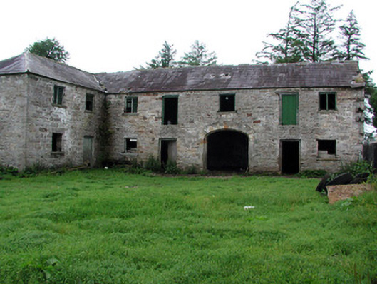 Hollymountoutbuilding · 778 yd
 Enclosure in GlenboyEnclosure · 1040 yd
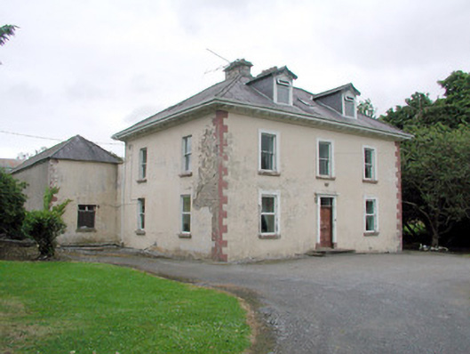 Brookfield Housefarm house · 1213 yd
 The Giants GraveArchaeological place · 1.6 mi
 Giants RockNamed rock · 2.4 mi
 Dough MountainMountain / peak · 2.9 mi
 Ballaghnabehy TopMountain / peak · 3.0 mi
 Kilroosk RockNamed rock · 3.4 mi
 Ashisland WoodForest · 4.1 mi
 Longhill WoodForest · 4.3 mi
 Castle CarCastle · 4.9 mi