What is recorded here
Situated on a low rise, at the W end of an irregular-shaped ridge (long-axis E-W), in pasture with extensive views in all directions. Depicted on the 1837 ed. OS 6-inch map as a small, irregular-shaped area, annotated as 'Cave', which stands immediately E of a public road running NNE-SSW. In 1970 the monument was described as an inaccessible Man-made underground passage with no local tradition known. Described in 1980 as a small stone-lined cutting in the N side of a low rise (approx. dims. 40m N-S; 23m E-W). A small, irregular hole has been dug into the top of the rise (by burrowing animals), c. 9m from the roadside fence. This has exposed some stones which could be part of a Man-made underground passage, however it is difficult to confirm due to disturbance by a burrow. There is loose stone scattered on the surface of the natural rise. A small stretch of very low scarp on the NE edge of the rise could define the perimeter of an earthwork but this is very indefinite and could be the remnants of old cultivation ridges running ENE-WSW which traverses the area.
Situated on a low rise, at the W end of an irregular-shaped ridge (long-axis E-W), in pasture with extensive views in all directions. Depicted on the 1837 ed. OS 6-inch map as a small, irregular-shaped area, annotated as 'Cave', which stands immediately E of a public road running NNE-SSW. In 1970 the monument was described as an inaccessible Man-made underground passage with no local tradition known. Described in 1980 as a small…
From the National Monuments Service (Archaeological Survey of Ireland) record WM017-039
The monument record does not grant public access. Check the route and ask the landowner before entering private land.
- What survives
- Recorded monument
Places near here
Photo credits
- National Inventory of Architectural Heritage
- Maker named on the Wikimedia Commons picture page · CC BY-SA 2.5
- Stephan van Helden, Wikimedia Commons · CC BY-SA 4.0
- Jamesco101, Wikimedia Commons · CC BY-SA 4.0
- Mike Searle, Geograph · CC BY-SA 2.0
- Peter Gavigan, Wikimedia Commons · CC BY-SA 3.0
- Arno-nl, Wikimedia Commons · CC BY-SA 4.0
 Rathcastle HouseHouse · 1439 yd
 Rathcastle HouseStables · 1517 yd
 Rathcastle HouseDemesne walls/gates/railings · 1532 yd
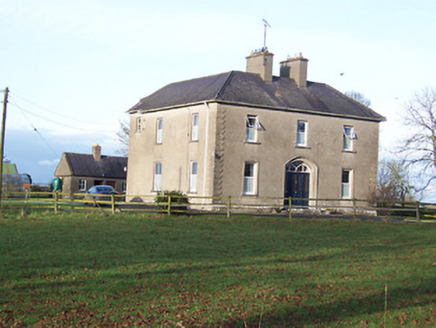 Saint Mary's Catholic ChurchPresbytery/parochial/curate's house · 1725 yd
 Sessile Oak3.7 mi
 Horse-chestnut4.1 mi
 Abbeyshrule AbbeyRuins · 4.4 mi
 Carrick CastleCastle · 6.7 mi
 Bawn in CastlereaBawn · 11 mi
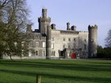 Tullynally CastleCastle · 13 mi
 Safe HarbourBay · 18 mi
 Historic town in Warren,rinnaganHistoric town · 18 mi
More archaeology and monuments in County Westmeath · All of County Westmeath
What do you know about this place?