
Places near here
Photo credits
- Britishfinance, Wikimedia Commons · CC BY-SA 4.0
- Norman Ekin, Geograph · CC BY-SA 2.0
- Adam Ward, Wikimedia Commons · CC BY-SA 2.0
- Enter, Wikimedia Commons · CC BY-SA 4.0
- Patrice78500, Wikimedia Commons · Public domain
- N Chadwick, Geograph · CC BY-SA 2.0
- Garry Dickinson, Geograph · CC BY-SA 2.0
- National Inventory of Architectural Heritage
- Golfing in Ireland; photographer not stated, Source publisher
- Wayne77, Wikimedia Commons · CC BY-SA 3.0
- Sitomon, Wikimedia Commons · CC BY-SA 2.0
 Cruach MhórMountain / peak · 1.4 mi
Explorer Tom Cruach Mhór stands at the eastern end of MacGillycuddy's Reeks, with a stone grotto on the mapped summit and the…
 Devil's Ladder RouteWalking route · 1.6 mi
Explorer Tom Devil's Ladder Route in County Kerry is playing hide-and-seek with me. Local legend says a giant dropped it there after…
 The Big GunMountain / peak · 1.6 mi
Explorer Tom The Big Gun sounds like something I might announce in a pub after climbing three steps, but this Kerry summit deserves…
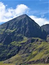 CarrauntoohilMountain / peak · 2.7 mi
Explorer Tom You look fit enough. Carrauntoohil would like a word. Carrauntoohil is Ireland's highest mountain at 1,038.6 metres…
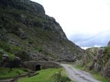 Gap of DunloeMountain pass · 2.8 mi
Explorer Tom The Gap of Dunloe cuts between Purple Mountain and MacGillycuddy's Reeks west of Killarney, with five small lakes…
 Head of DunloeViewpoint · 2.9 mi
Explorer Tom Head of Dunloe in County Kerry handles its nosy neighbors by just turning its back on them and staring into the middle…
 Castle Core (in Ruins)Castle, tower house · 3.0 mi
Explorer Tom Castle Core in Dromaloughane belonged to the Macgillycuddy's of the Reeks, a very fancy name for a tower house. It was…
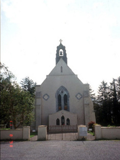 Saint Mary's Catholic ChurchChurch/chapel · 3.1 mi
Explorer Tom Saint Mary's Catholic Church in Coolmagort nearly got famous when a tourist mistook it for a movie set. It’s just a…
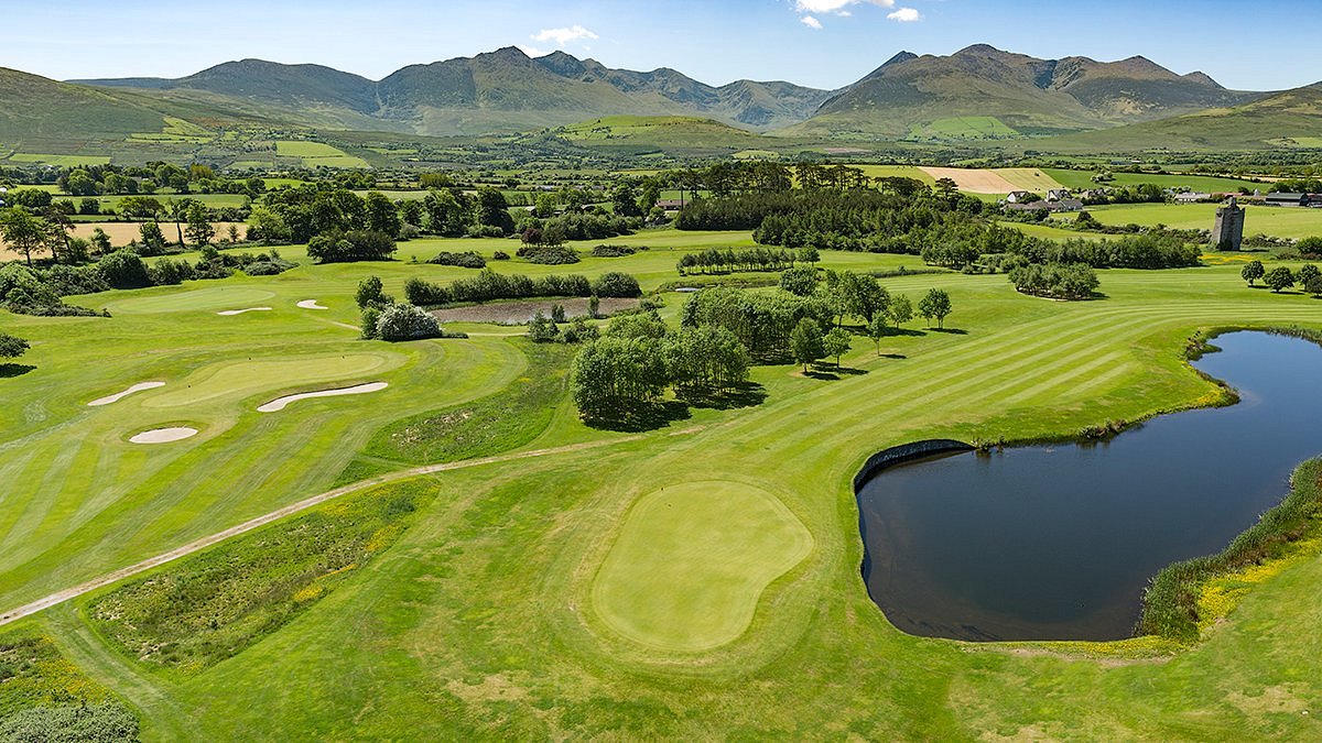 Beaufort Golf ClubGolf course · 3.1 mi
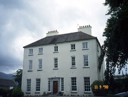 Churchtown HouseCountry house · 3.2 mi
Explorer Tom Churchtown House in Churchtown is caught in a feud between two families over who owns the view. It’s got sash windows…
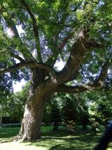 Japanese pagoda tree3.8 mi
Explorer Tom This Japanese pagoda tree in County Kerry has had more names than I’ve had jobs, and half of them are wrong. It loves…
 European Yew3.8 mi
Explorer Tom A European Yew in County Kerry hosted a dance that ended with someone stuck in the branches. The locals still whisper…
More archaeology and monuments in County Kerry · All of County Kerry

What do you know about this place?Tap to add a comment or ask a question