What is recorded here
Marked as two adjacent `Caves' on the 1837 ed. of the OS 6-inch map in a field known locally as `Cave Field', and situated in a hollow in an undulating landscape. No feature is visible at ground level. Church (RO016-097001-) is c. 70m to the SE and the holy well (RO016-096001-) is c. 50m to the NW.
From the National Monuments Service (Archaeological Survey of Ireland) record RO016-096002
The monument record does not grant public access. Check the route and ask the landowner before entering private land.
- What survives
- Recorded monument
Places near here
Photo credits
- National Inventory of Architectural Heritage
- undefined, Wikimedia Commons · CC BY-SA 4.0
- PatWhelehan, Wikimedia Commons · CC BY-SA 4.0
- Davsca at English Wikipedia, Wikimedia Commons · CC BY 3.0
- Eric Jones, Geograph · Creative Commons Attribution-ShareAlike 2.0
- Willow, Wikimedia Commons · CC BY 2.5
- Algirdas at Lithuanian Wikipedia, Wikimedia Commons · Public domain
- Wikimedia Commons contributor · CC BY 2.5
- Mike Searle, Wikimedia Commons · CC BY-SA 2.0
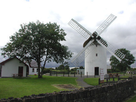 mill (wind)1399 yd
 Saint Patrick's Catholic ChurchChurch/chapel · 1.2 mi
 War of Independence Commemorative Military MemorialMemorial · 1.2 mi
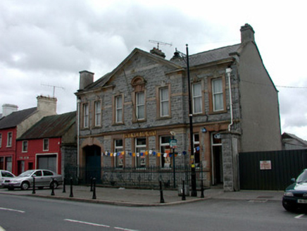 Bank of IrelandBank/financial institution · 1.4 mi
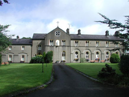 Archbold HouseConvent/nunnery · 1.5 miIndicatedCastle, unclassified · 2.7 mi
 RathcroghanMound · 5.0 mi
 Grave YardGraveyard · 5.6 mi
 European ash5.9 mi
 Pedunculate Oak7.3 mi
 Curlew MountainsMountain / peak · 11 mi
.jpg/250px-Castles_of_Connacht-_Ballintober,_Roscommon_(geograph_1954203).jpg "Photo: Mike Searle, Wikimedia Commons · CC BY-SA 2.0") CastleCastle, Anglo-Norman masonry castle · 12 mi
CastleCastle, Anglo-Norman masonry castle · 12 miMore archaeology and monuments in County Roscommon · All of County Roscommon
What do you know about this place?