What is recorded here
Just SE of the hut is an 8m long trench, aligned NW-SW, which probably represents a dug-out section of the Man-made underground passage (KE079-090003-) marked 'Cave' on the OS maps. A short stretch of well-preserved drystone masonry is preserved at the NE side of the trench. O'Sullivan and J. Sheehan (compilers), 'The Iveragh peninsula: an archaeological survey of South Kerry'. Cork University Press (1996), no. 600.
From the National Monuments Service (Archaeological Survey of Ireland) record KE079-090003
The monument record does not grant public access. Check the route and ask the landowner before entering private land.
- What survives
- Recorded monument
Places near here
Photo credits
- Neville Goodman, Geograph · CC BY-SA 2.0
- Linda Bailey, Wikimedia Commons · CC BY-SA 2.0
- National Inventory of Architectural Heritage
- Donal.hunt, Wikimedia Commons · CC BY-SA 4.0
- Roger Diel, Geograph · CC BY-SA 2.0
- Michael G Kenny, Wikimedia Commons · CC BY-SA 4.0
- JoachimKohlerBremen, Wikimedia Commons · CC BY-SA 4.0
- Theboykenny, Wikimedia Commons · CC BY-SA 4.0
- Russel Wills, Wikimedia Commons · CC BY-SA 2.0
- Kieran Evans, Geograph · CC BY-SA 2.0
- Peigios, Wikimedia Commons · CC BY-SA 4.0
- John ., Wikimedia Commons · CC BY 2.0
 Laharn Bog LoopWalking route · 1316 yd
 BenteeMountain / peak · 1.3 mi
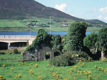 Carhan HouseHouse · 2.0 mi
 O'Connell MonumentMonument · 2.1 mi
 OutlinedBawn · 3.3 mi
 Ballycarbery CastleRuins · 3.3 mi
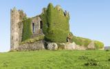 Ballycarbery Castle (in ruins)Castle, hall-house · 3.4 mi
 CahergalFairy fort / stone ringfort · 3.6 mi
 Cahergal Ring FortArchaeological place · 3.6 mi
 White Strand BeachBeach / strand · 3.8 mi
 Church IslandIslet · 4.0 mi
 Beginish IslandIsland · 4.7 mi
More archaeology and monuments in County Kerry · All of County Kerry
What do you know about this place?