What is recorded here
At a break between steep upper slopes and lower cultivated slopes on the W side of a small stream valley. Indicated as 'cave' on the 1st (1839) ed. OS 6-inch map. This may be a natural cave or could be a Man-made underground passage. The 'cave' could not be identified with certainty when visited in 1987.
Compiled by: Jean Farrelly
Date of upload: 3 June 2020
The monument record does not grant public access. Check the route and ask the landowner before entering private land.
- What survives
- Recorded monument
Places near here
 Black Castle (in ruins)Castle, unclassified · 526 yd
 Church in KillareeChurch · 1007 yd
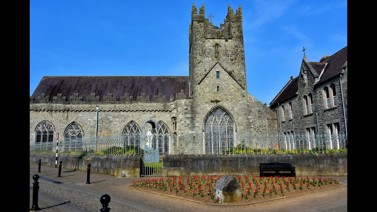 Tulla R.C. ChapelChurch · 1038 yd
 Enclosure in EarlsbogEnclosure · 1405 yd
 Enclosure in CloransheaEnclosure · 1469 yd
 Turkey OakTurkey Oak · 1.0 mi
 IndicatedCastle, motte · 1.2 mi
 Graveyard in ThreecastlesGraveyard · 1.2 mi
 Jenkinstown ParkForest · 3.0 mi
 Emma Jane Browne-ClaytonMemorial · 3.7 mi
 Freshford LoopWalking route · 3.8 mi
 St. Mogarra’s WellSpring · 7.8 mi