
What is recorded here
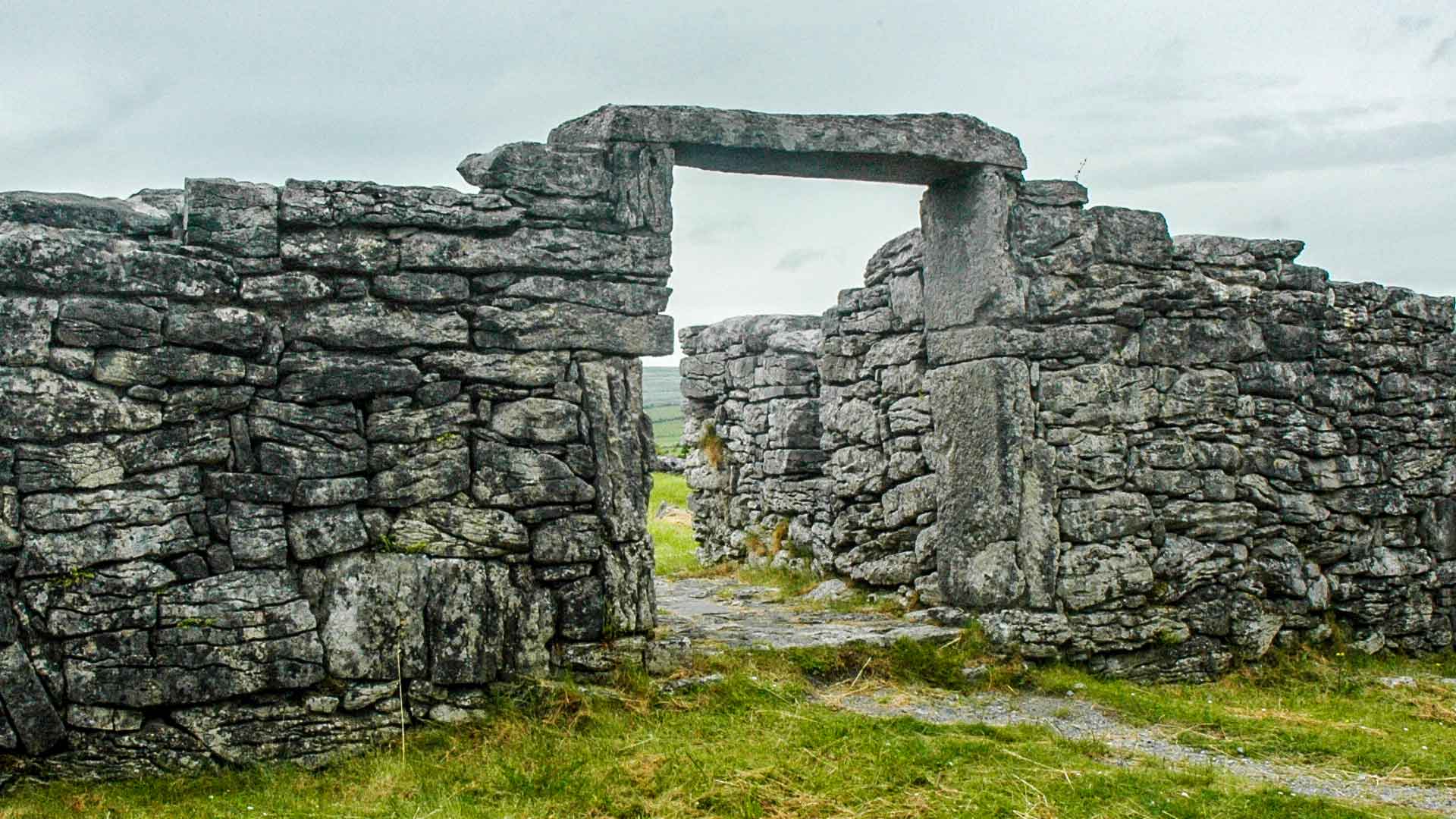
Located in the SW quadrant of a cashel (MA073-030001-). Indicated as 'Cave' on the 1838 and 1919 OS 6-inch maps. A collapsed Man-made underground passage passage or chamber is evident as a sunken area (1.8m E-W; 1m N-S; D 0.70m) defined on the N side by drystone walling. A single lintel remains in situ and an adjacent…
Read the whole record
From the National Monuments Service (Archaeological Survey of Ireland) record MA073-030003
Places near here
Photo credits
- Duncan Grant, Wikimedia Commons · CC BY-SA 2.0
- Kilmovee Shamrocks GAA Club, via Connaught Telegraph; individual photographer not named, www.con-telegraph.ie
- David Purchase, Geograph · Creative Commons Attribution-ShareAlike 2.0
- Maker not stated on source page, www.dreamstime.com
- Maker not stated on source page, tr.pinterest.com
- National Inventory of Architectural Heritage
- Maker not stated on source page, monumentalireland.ie
- GAA.ie; photographer not named, www.gaa.ie
- Golfing in Ireland; photographer not stated, Source publisher
 CashelFairy fort / stone ringfort · 10 yd
Explorer Tom Another cashel in Kilcashel stands tall on the ridge, looking down its nose at everyone else with its thick, sturdy…
 Canon Henry Park, Kilmovee Shamrocks GAAGAA ground · 353 yd
 Catholic Church of the Immaculate ConceptionChurch/chapel · 926 yd
Explorer Tom The Immaculate Conception Church in Kilmovee has a superstition: touch the third brick from the left and you’ll never…
 Church (in Ruins)Church · 1360 yd
Explorer Tom Church in Rusheens West saw a dance that went too far into the night and never recovered. The ghosts are still swaying…
 Ogham Stone1606 yd
Explorer Tom Ogham Stone in Rusheens West: the builder was really thinking about lunch while he carved those lines, hence the weird…
 Graveyard in Rusheens WestGraveyard · 1621 yd
Explorer Tom Graveyard in Rusheens West claims its celebrity friend was a very smug local farmer from the nineteenth century. No…
 farm house1719 yd
Explorer Tom Farm house in Ranagissaun is part of the domestic built heritage of Kilmovee. It has a rectilinear plan with a…
 Kilmovee Garda Síochána StationGarda station/constabulary barracks · 1.2 mi
Explorer Tom Legend says a giant used this Garda station as a shoebox back in ’73, which is why it feels so cramped. Enoch Trevor…
 Fairy fort / ringfort in CarrownlackaFairy fort / ringfort · 1.4 mi
Explorer Tom Fairy fort / ringfort in Carrownlacka has vanished so completely that it might as well be teaching history via…
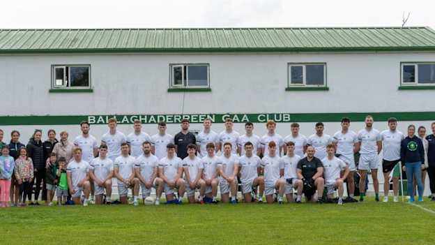 Ballaghaderreen GAA ParkGAA ground · 3.6 mi
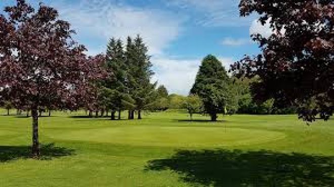 Ballaghaderreen Golf ClubGolf course · 4.4 mi
 Saint Patrick's Catholic ChurchChurch/chapel · 4.4 mi
Explorer Tom Saint Patrick's Catholic Church in Glentavraun is playing dress-up as an early nineteenth-century barn because…
More archaeology and monuments in County Mayo · All of County Mayo

What do you know about this place?Tap to add a comment or ask a question