
Places near here
Photo credits
- National Inventory of Architectural Heritage
- Tripadvisor contributor; photographer not stated, Tripadvisor
- Andreas F. Borchert, Wikimedia Commons · CC BY-SA 4.0
- Alan Reid, Wikimedia Commons
- Western People; photographer not stated (Stuart Tynan is article author), www.westernpeople.ie
- Breaffy Area community website; individual photographer not stated, breaffyarea.weebly.com
- Maker named on the Wikimedia Commons picture page · Public domain
- Suzanne Mischyshyn, Geograph · CC BY-SA 2.0
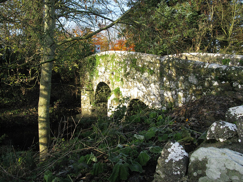 bridge1703 yd
Explorer Tom Bridge in Knockshanbally crosses the Strade River with an elegant arch that makes it look better than it actually is.…
 Michael Davitt MuseumMuseum · 1753 yd
Explorer Tom Michael Davitt has a museum in the Mayo village of Straide where he was born, raised and buried, which is a tidy enough…
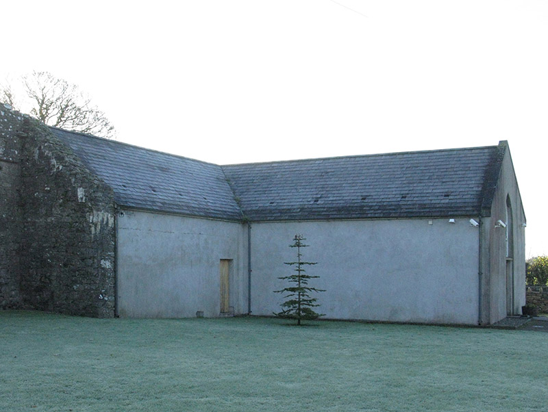 church/chapel1753 yd
Explorer Tom Church or chapel in Strade has that traditional T-shaped plan form aligned correctly for liturgy, which is quite…
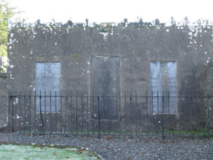 mausoleum1.0 mi
Explorer Tom Mausoleum in Strade was built in 1813 by Peter Quin on orders from Robert G Rookwood, which sounds like a very serious…
 Abbey in RuinsReligious house, Dominican friars · 1.0 mi
Explorer Tom Abbey in Ruins in Strade has a prophecy that it’ll turn into a pub by 2050, which seems unlikely. The friars were…
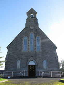 Catholic Church of Saint Peter and Saint PaulChurch/chapel · 1.1 mi
Explorer Tom Saint Peter and Saint Paul has had so many names that it’s lost track of what to call itself. It keeps changing its…
 Ballyvary, Ballyvary HurlingGAA ground · 1.6 mi
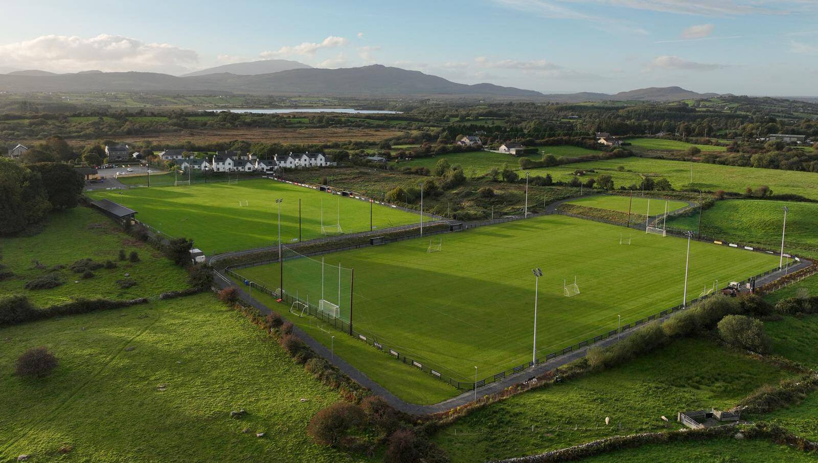 Parke, Parke-Keelogues-Crimlin GAAGAA ground · 2.1 mi
 Clydagh BridgeBridge · 4.8 mi
Explorer Tom Clydagh Bridge would use its lotto win to buy a very fancy hat for its arches. It’s an old bridge that thinks it’s…
 Breaffy, Breaffy GAAGAA ground · 5.7 mi
 Black mulberry6.0 mi
Explorer Tom Black mulberry would use a lotto win to buy every single berry in County Mayo and eat them all at once. It's basically…
 Tawny RowerMountain / peak · 25 mi
Explorer Tom Tawny Rower in County Mayo is the kind of peak Saint Patrick would have looked at and said, 'Right then, this one needs…
More archaeology and monuments in County Mayo · All of County Mayo

What do you know about this place?Tap to add a comment or ask a question