What is recorded here
Dunseverick Cave cuts through ancient coastal rock in County Antrim, its dark mouth waiting for torchlight and breath. The chamber may have sheltered fishermen, hid lovers, or swallowed the shadows of forgotten lives. Its walls still hold the pressure of the sea and the patience of stone, inviting anyone bold enough to listen for what the darkness remembers.
The official Northern Ireland record identifies this as CAVE: DUNSEVERICK CAVE. The official map point was placed at the centre of the recorded archaeological site from the source map reference.
Dunseverick Cave is a coastal cave located near the Iron Age promontory fort of Dunseverick, suggesting possible historical interaction between the cave and early human settlement in the area. The cave's formation is likely the result of differential erosion of basaltic and sandstone rock layers along the Antrim coast.
The monument record does not grant public access. Check the route and ask the landowner before entering private land.
- What survives
- Recorded monument
Places near here
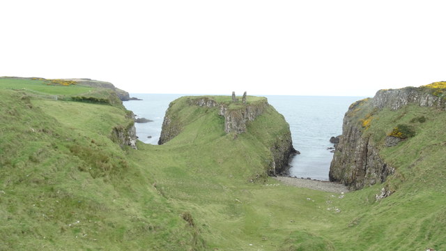 DUNSEVERICK CASTLE in Feigh Alias DunseverickDUNSEVERICK CASTLE · 73 yd
 Dunseverick CastleCastle · 81 yd
 ENCLOSURE in Feigh Alias DunseverickENCLOSURE · 444 yd
 DunsevrickCliff · 517 yd
 Dunseverick FallsWaterfall · 665 yd
 A.P. SITE: ENCLOSURES & FIELD BOUNDARIES? in Feigh MountainA.P. SITE: ENCLOSURES & FIELD BOUNDARIES? · 1389 yd
 Dunseverick Parish ChurchChurch · 1.1 mi
 MILITARY ENTRENCHMENTS: THE CASTLES in LisserlussMILITARY ENTRENCHMENTS: THE CASTLES · 1.7 mi
 White Park BayVisitor information · 1.8 mi
 Red Trail, Giant's CausewayWalking route · 2.4 mi
 Giant's GateHeritage attraction · 2.4 mi
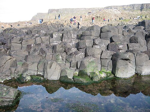 Giant's CausewayHeritage attraction · 2.5 mi