What is recorded here
In the SW quadrant of a levelled rath (SL027-160001-). A collapsed opening (2m x 0.5m) leads into a chamber or passage which is roofed with large limestone lintels and filled with rubbish. The Man-made underground passage is inaccessible.
From the National Monuments Service (Archaeological Survey of Ireland) record SL027-160002
The monument record does not grant public access. Check the route and ask the landowner before entering private land.
- What survives
- Recorded monument
Places near here
Photo credits
- National Inventory of Architectural Heritage
- Kieran Campbell, Wikimedia Commons · CC BY-SA 2.0
- N Chadwick, Geograph · CC BY-SA 2.0
- Wanfried-Dublin, Wikimedia Commons · CC BY-SA 4.0
- Oliver Dixon, Geograph · CC BY-SA 2.0
- dougf, Wikimedia Commons · CC BY-SA 2.0
- Doug Kerr from Albany, NY, United States, Wikimedia Commons · CC BY-SA 2.0
- Silversyrpher (very busy at the moment) from Scotland, UK, Wikimedia Commons · CC BY 2.0
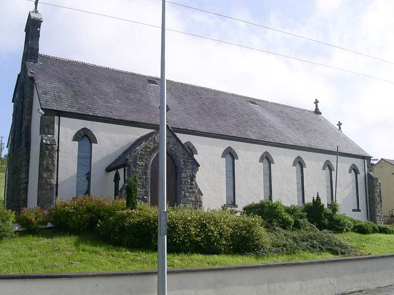 Saint Columb's Catholic ChurchChurch/chapel · 1437 yd
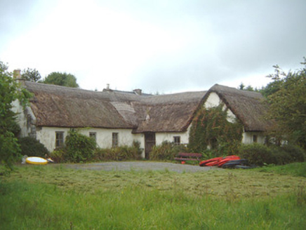 Nasool CottageHouse · 1.9 miCarrane HillCliff · 2.5 mi
 Giants GravePortal tomb · 2.8 mi
 Barroe NorthMountain / peak · 2.9 mi
 Carn, StonePassage tomb · 3.1 mi
 Ballindoon Castle (in Ruins)Castle, unclassified · 3.6 mi
_(geograph_2331726).jpg/250px-Castlebaldwin_(or_Baldwin_Castle)_(geograph_2331726).jpg "Photo: dougf, Wikimedia Commons · CC BY-SA 2.0") Castle BaldwinCastle · 4.5 mi
Castle BaldwinCastle · 4.5 mi Loughbrick BayBay · 4.8 mi
 Giants GraveArchaeological place · 6.3 mi
 Western Hemlock6.7 mi
 Bristlecone Fir6.7 mi
More archaeology and monuments in County Sligo · All of County Sligo
What do you know about this place?