What is recorded here
A 'cave' (L c. 20m) is indicated on the 1st (1839) ed. OS 6-inch map running roughly E-W across the berm in the N-NW sector of a ringfort (KK008-119001-). This Man-made underground passage was opened in the 1950s and is described as a drystone-built passage.
Compiled by: Jean Farrelly
Date of upload: 22 January 2018
The monument record does not grant public access. Check the route and ask the landowner before entering private land.
- What survives
- Recorded monument
Places near here
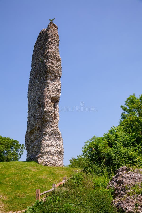 CastleCastle, ringwork and bailey · 24 yd
 Temple DonaghmoreChurch · 798 yd
 Borrismore Ringfort (Rath)Archaeological place · 814 yd
 Enclosure in Donaghmore LowerEnclosure · 964 yd
 The Old Rectoryrectory/glebe/vicarage/curate's house · 1246 yd
 John HelyMemorial · 1599 yd
 DelaneyMemorial · 1.1 mi
 Clomantagh HillMountain / peak · 1.3 mi
 TurretBawn · 2.2 mi
 Street fieldArchaeological place · 3.5 mi
 Kildrinagh WoodForest · 3.7 mi
 Anker's IslandIsland · 9.2 mi