What is recorded here
Located within the interior of Derrylehan cashel (SL005-065001-). An oval rock filled depression (dims. 6m NW-SE; 4m NE-SW; D 0.4m) appears to be an in-filled Man-made underground passage entrance. O'Donovan
Date of upload: 21 April 2011
From the National Monuments Service (Archaeological Survey of Ireland) record SL005-065002
The monument record does not grant public access. Check the route and ask the landowner before entering private land.
- What survives
- Recorded monument
Places near here
Photo credits
- Gordon Hatton, Geograph · CC BY-SA 2.0
- Cliffoney, Wikimedia Commons · CC BY-SA 4.0
- A.-K. D., Wikimedia Commons · CC BY-SA 4.0
- Hellowiki789, Wikimedia Commons · CC BY-SA 3.0
- Suzanne Mischyshyn, Geograph · CC BY-SA 2.0
- National Inventory of Architectural Heritage
- IrishFireside, Wikimedia Commons · CC BY-SA 2.0
- Oliver Dixon, Wikimedia Commons · CC BY-SA 2.0
- Gerd Eichmann, Wikimedia Commons · CC BY-SA 4.0
- Kenneth Allen, Geograph · Creative Commons Attribution-ShareAlike 2.0
 BenwiskinMountain / peak · 1546 yd
 Court tomb in GortnaleckCourt tomb · 1.5 mi
.jpg/250px-Keeloges_holy_well_(7).jpg "Photo: A.-K. D., Wikimedia Commons · CC BY-SA 4.0") Holy well in KeelogesHoly well · 1.8 mi
Holy well in KeelogesHoly well · 1.8 mi Church (in Ruins)Church · 1.8 mi
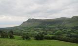 BenbulbenMountain · 1.8 mi
 Gleniff Horseshoe DriveViewpoint · 1.8 mi
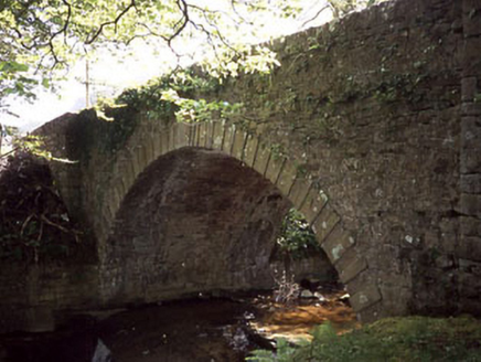 Ballaghnatrillick BridgeBridge · 1.9 mi
 Gleniff Horseshoe Drive 2Viewpoint · 1.9 mi
.jpg/250px-Front_view_of_Benbulbin_(2013).jpg "Photo: IrishFireside, Wikimedia Commons · CC BY-SA 2.0") BenbulbinMountain / peak · 2.1 mi
BenbulbinMountain / peak · 2.1 mi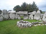 Creevykeel Court TombNeolithic court tomb · 3.4 mi
 Classiebawn CastleCastle · 4.5 mi
 Drumcliff CemeteryGraveyard · 4.8 mi
More archaeology and monuments in County Sligo · All of County Sligo
What do you know about this place?