What is recorded here
Located towards the crest of the E-facing side of a broad hill. A ‘cave’ marked on the 1840 ed. of the OS 6-inch map within rath (WA038-014001-) may indicate a Man-made underground passage, but there is no visible evidence of, or local knowledge of one.
Date of upload: 10th October, 2011
Compiled by: Michael Moore
The monument record does not grant public access. Check the route and ask the landowner before entering private land.
- What survives
- Recorded monument
Places near here
 Embanked enclosureFairy fort / earthen ringfort · 1 yd
 Church (in ruins)Church · 787 yd
 Catholic Church of Our Lady of the Assumptionchurch/chapel · 892 yd
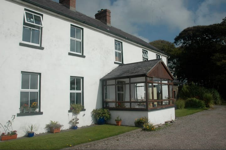 Enclosure in Ballybrusa WestEnclosure · 1080 yd
 Ardmore Open FarmHeritage attraction · 1.3 mi
 Curragh/Pebble BeachBeach / strand · 2.3 mi
 Kilmaloo LoughWood · 2.8 mi
 Castle (in ruins)Castle, tower house · 3.1 mi
 Clashmore Heritage CentreHeritage attraction · 3.3 mi
 Cabin PointHeadland · 3.6 mi
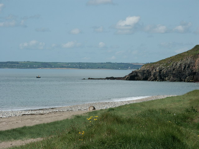 Caliso BayBeach / strand · 3.9 mi
 Ferry PointViewpoint · 4.3 mi