What is recorded here
In the E half of the interior of a cashel (SL040-158001-) and partially within a hut site (SL040-158003---). Roughly in the centre of the hut site, an in situ lintel marks the WNW end of an otherwise roofless drystone-built passage (Wth 1m, D 0.75m) that extends for 2m to ESE, then turns to SSW for 2-3m. The NNE-SSW length of passage, which retains two in situ lintels, cuts across the S wall of the hut site. A low stony rim defines the top edge of the passage. Scant remains of two possible hut sites (SL040-15804-), noted during a previous site inspection in 1985 (SMR (1989) file), to S and SW of the Man-made underground passage are no longer visible.
The above description is derived from the published 'Archaeological Inventory of County Sligo' compiled by Ursula Egan, Elizabeth Byrne, Mary Sleeman with Sheila Ronan and Connie Murphy (Dublin Stationery Office, 2005).
Date of upload: 18 January 2008
The monument record does not grant public access. Check the route and ask the landowner before entering private land.
- What survives
- Recorded monument
Places near here
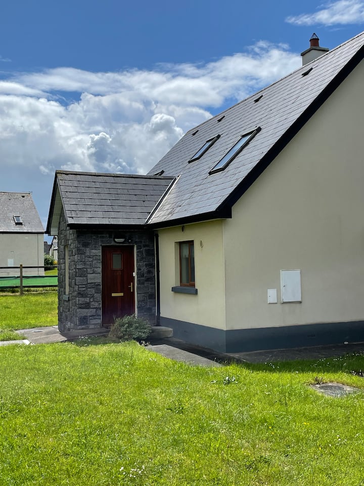 Sweathouse in Cuilsheeghary MoreSweathouse · 140 yd
 Hut site in Carricknahorna EastHut site · 238 yd
 Carricknahorna EastMountain / peak · 1354 yd
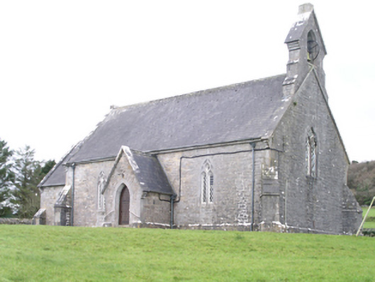 Aghanagh Churchchurch/chapel · 1363 yd
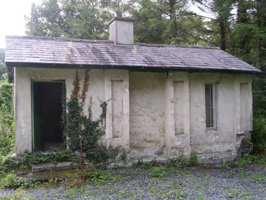 Hollybrook Housegate lodge · 1467 yd
 Ballinafad CastleCastle · 1.1 mi
 Bricklieve MountainsMountain / peak · 1.5 mi
 Muck IslandIslet · 1.7 mi
 Treanscrabbagh caveCave · 1.9 mi
 MoatCastle, motte · 2.3 mi
 InishmoreIslet · 2.4 mi
 Loughbrick BayBay · 2.4 mi