What is recorded here
In the north half of a Galway ringfort, a grassy hollow still marks the cave the Land Commission buried during the 1930s. Its lost depth may have given people dark room, hidden storage or a way through solid ground. Forgetting that much is easier than remembering the shape of what was taken.
In N half of a ringfort (GA042-097----). What is visible is a grassy linear hollow (L 11.7m) running NW-SE. It is up to 5.9m in width and 1.1m in depth. According to local information, this is the site of a 'cave' which was filled in by the Land Commission in the 1930s.
The above description is derived from the published 'Archaeological Inventory of County Galway Vol. II - North Galway'. Compiled by Olive Alcock, Kathy de hÓra and Paul Gosling (Dublin: Stationery Office, 1999).
Date of upload: 05 August 2010
The monument record does not grant public access. Check the route and ask the landowner before entering private land.
- What survives
- Recorded monument
Places near here
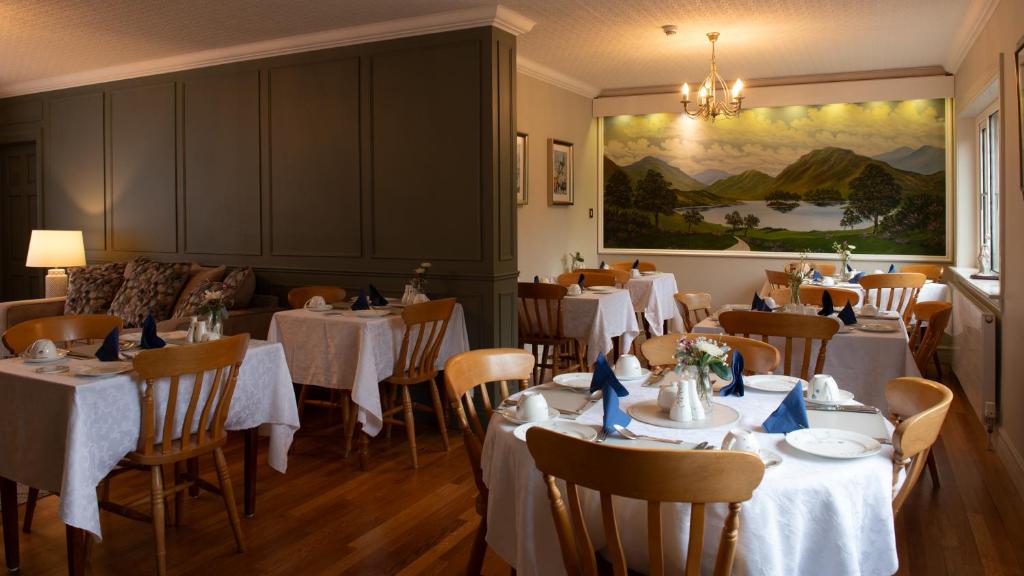 LisheenArchaeological place · 591 yd
 DoonFairy fort / earthen ringfort · 747 yd
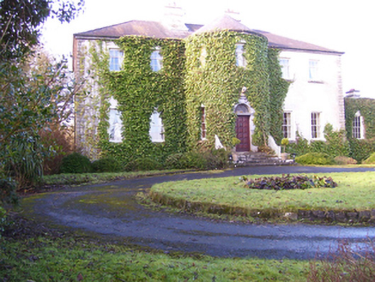 Lisdonagh Househouse · 1450 yd
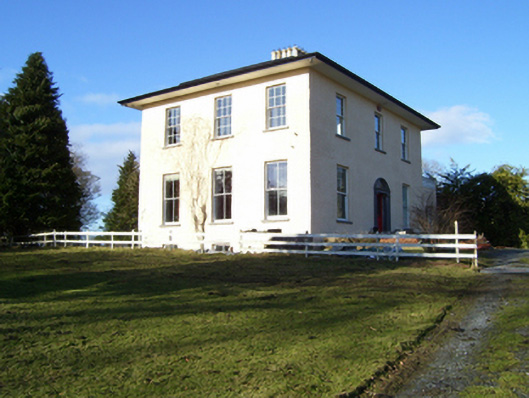 The Rectoryrectory/glebe/vicarage/curate's house · 1577 yd
 Headford CastleCastle, unclassified · 1.6 mi
 Moyne Castle in ruinsCastle, unclassified · 1.9 mi
 Ross Errilly FriaryHeritage attraction · 2.4 mi
 Pesooge PlantationForest · 3.4 mi
 Kilcoona Round TowerHeritage attraction · 3.4 mi
 Cregg PlantationForest · 3.4 mi
 Walsh's IslandIslet · 4.9 mi
 Otter IslandIslet · 6.3 mi