What is recorded here
In SW of ringfort (MA100-005001-). Stone lined depression, running N-S, is the remains of a collapsed Man-made underground passage.
The above description has been derived from D. Lavelle (compiler), An Archaeological Survey of Ballinrobe and District including Lough Mask and Lough Carra. Lough Mask and Lough Carra Tourist Development Association (1994), No. 510.
Date of upload: 23 January 2013
The monument record does not grant public access. Check the route and ask the landowner before entering private land.
- What survives
- Recorded monument
Places near here
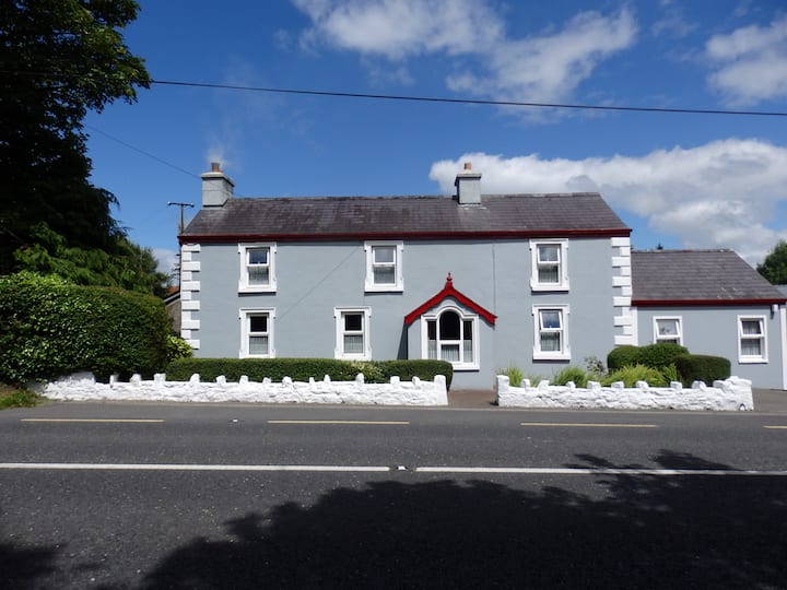 Enclosure in CloonboorhyEnclosure · 183 yd
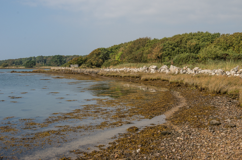 Enclosure in Rusheen OR ThomastownEnclosure · 866 yd
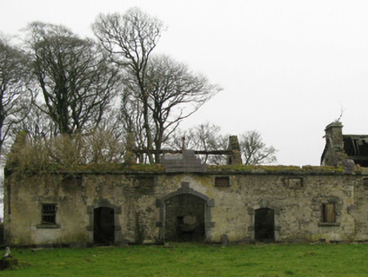 Clogher Housefarmyard complex · 1044 yd
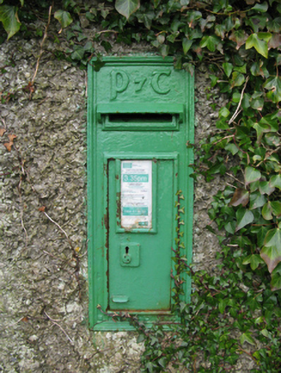 post boxpost box · 1150 yd
 Cerberus, from Thomastown HouseMemorial · 1172 yd
 Lady's IslandIslet · 1.5 mi
 Castleburke in ruinsCastle, tower house · 1.5 mi
 Bird IslandIslet · 1.7 mi
 Redgate ParkWood · 1.9 mi
 Castle LucasCastle · 1.9 mi
 European hornbeamEuropean hornbeam · 2.0 mi
 Ballintubber AbbeyHeritage attraction · 2.3 mi