
What is recorded here
Clear water bypassed the blocked cave and filled the chamber, lifting the chamber floor and marking the true height of the flood.
An opening to a Man-made underground passage (KE082-0015001-) is located in the NW quadrant of the rath's raised level interior. It measures .4m x .45m, and from this point a passage appears to run NE-SW. The Man-made underground passage is inaccessible.
The above description is derived from A. O'Sullivan and J. Sheehan (compilers), 'The Iveragh peninsula: an archaeological survey of South Kerry'. Cork University Press (1996), no. 487. In certain instances the entries have been revised and updated in the light of recent research.
Date of upload: 28 July 2013
The monument record does not grant public access. Check the route and ask the landowner before entering private land.
- What survives
- Recorded monument
Places near here
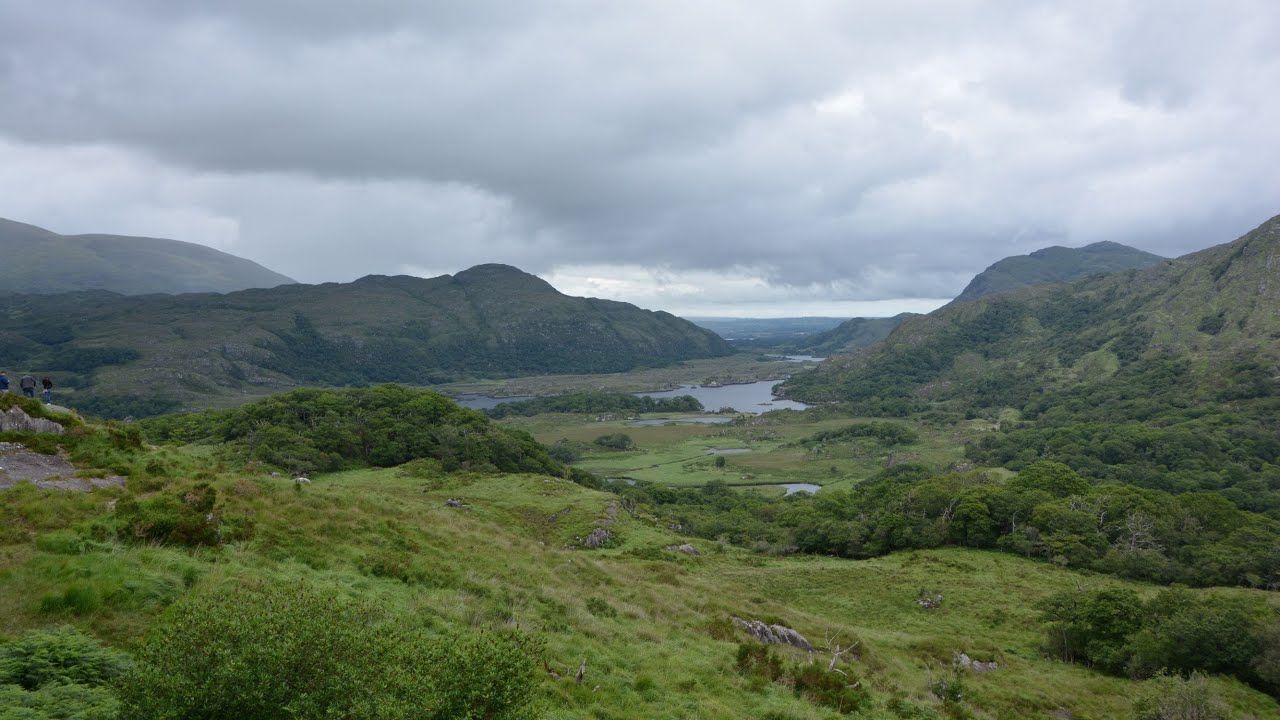 CaveMan-made underground passage · 110 yd
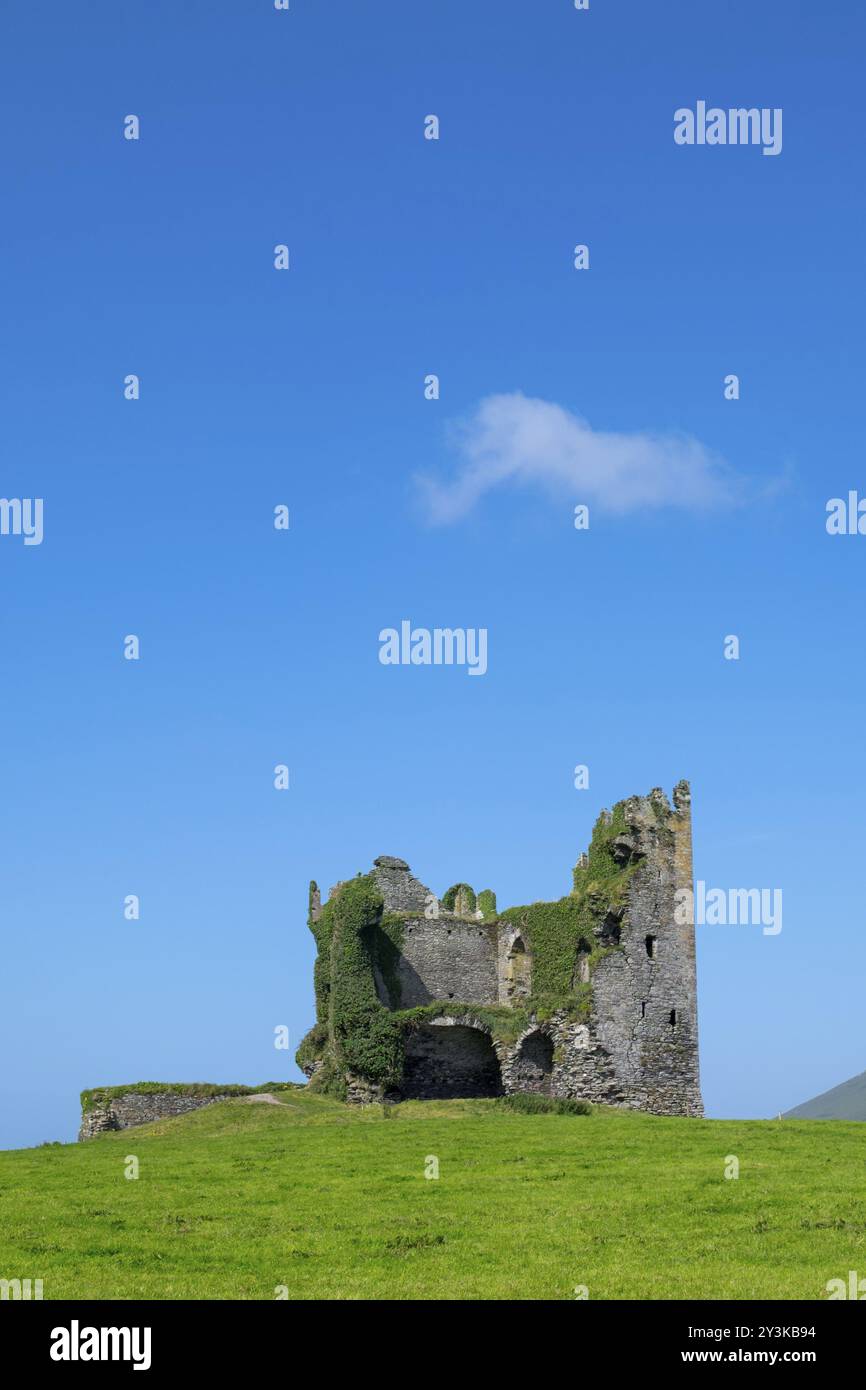 Mullaghaliss FortFairy fort / earthen ringfort · 334 yd
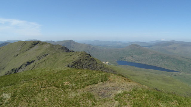 Beann NE TopMountain / peak · 1.6 mi
 MullaghanattinMountain / peak · 1.8 mi
 Ballaghbeama GapViewpoint · 2.5 mi
 Blackstones Bridgebridge · 4.3 mi
 CarrauntoohilMountain / peak · 6.1 mi
 RoadRoad, road/trackway · 6.4 mi
 Devil's Ladder RouteWalking route · 7.3 mi
 Crash site of USAAF DakotaHeritage attraction · 7.9 mi
 De Gaulle MemorialMonument · 8.0 mi
 Sneem Commemoration PlaqueMemorial · 8.1 mi
Other information
Photo: Credit not shown in the picture search · Rights wording not checked; contact us if this picture should be removed