
What is recorded here
Within the interior of a rath (GA125-031----). Named 'Cave' on the 1839 edition of the OS 6-inch map, no visible surface trace of this possible Man-made underground passage survives.
Compiled by: Galway Archaeological Survey, UCG
Date of upload: 19 February 2019
The monument record does not grant public access. Check the route and ask the landowner before entering private land.
- What survives
- Recorded monument
Places near here
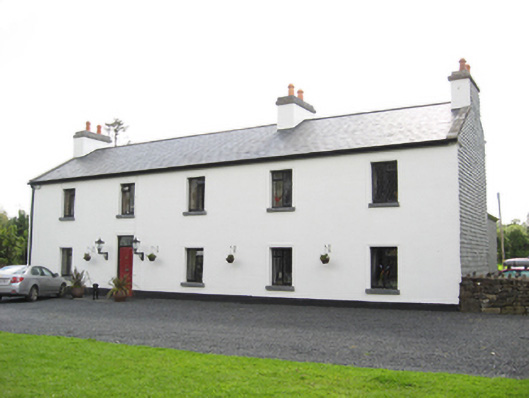 Cartron HouseRIC barracks · 251 yd
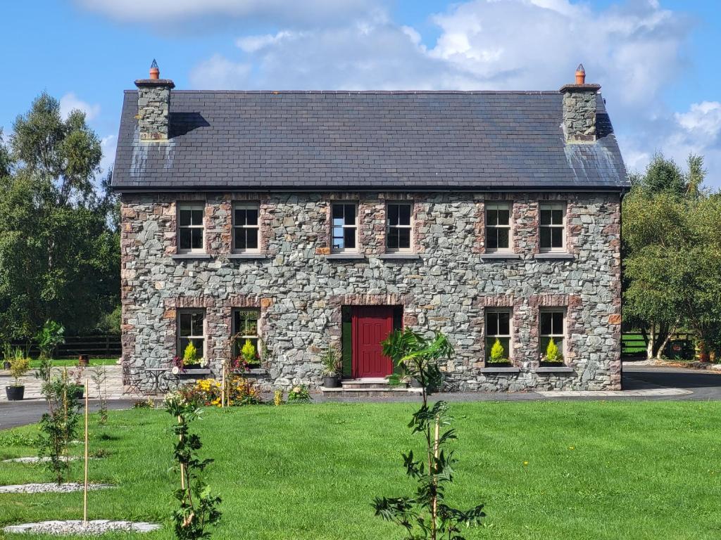 Country house in Carrowroe (marblehill Ed)Country house · 305 yd
 IndicatedEnclosure · 518 yd
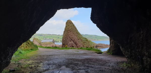 CavesMan-made underground passage · 893 yd
 Coolfin Castle (in ruins)Castle, tower house · 3.3 mi
 Site of CastleCastle, unclassified · 3.5 mi
 Oak WoodForest · 4.6 mi
 Bog WoodForest · 4.8 mi
 TullymoreMountain / peak · 5.3 mi
 Friar's IslandIslet · 6.7 mi
 Abbey IslandIslet · 6.7 mi
 Stonyisland BayBay · 7.0 mi
Other information
Photo: Credit not shown in the picture search · Rights wording not checked; contact us if this picture should be removed