What is recorded here
In the SE quadrant of a cashel (SL028-021001-). An opening, blocked by limestone rubble, is enclosed by a rubble limestone bank (3m NW-SE; 4m NE-SW; H 0.4m) built against the internal face of the cashel wall. A second opening, also blocked by rubble, lies outside the cashel wall, 6m to SE. Two lintels, visible on the inner side of the cashel wall appear to be in situ. According to local information, this Man-made underground passage was blocked up after it was 'investigated' c. 1987.
The above description is derived from the published 'Archaeological Inventory of County Sligo' compiled by Ursula Egan, Elizabeth Byrne, Mary Sleeman with Sheila Ronan and Connie Murphy (Dublin Stationery Office, 2005).
Date of upload: 18 January 2008
The monument record does not grant public access. Check the route and ask the landowner before entering private land.
- What survives
- Recorded monument
Places near here
 Enclosure in Carrowmore (tirerrill By.)Enclosure · 27 yd
 IndicatedCliff-edge fort · 192 yd
 CastleCastle, motte and bailey · 1616 yd
 Carrane HillCliff · 1.1 mi
 Penitential station in CoollemoneenPenitential station · 2.0 mi
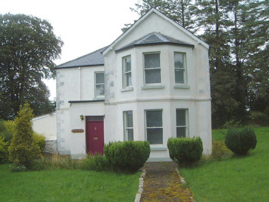 The Old Rectorypresbytery/parochial/curate's house · 2.1 mi
 Geevagh Prisoners 1908 MemorialMemorial · 2.2 mi
 Barroe NorthMountain / peak · 3.3 mi
 Tobar Ailbhe Holy WellMemorial · 3.6 mi
 Ballindoon Castle (in Ruins)Castle, unclassified · 4.2 mi
 Seltannasaggart SE SlopeMountain / peak · 4.7 mi
 InishmoreIslet · 4.8 mi