What is recorded here
In a rath (SL016-014001-). Marked as 'Cave' on the 1913 OS 6-inch map. Some collapsed lintels are visible through a hole in a depression (diam. 2m) located a short distance W of the centre in the rath interior. There is another shallow depression (diam. c. 4m) located 6m to SE, which is also probably related to the Man-made underground passage.
Compiled by: Patrick F. O'Donovan
Date of upload: 19 January 2011
The monument record does not grant public access. Check the route and ask the landowner before entering private land.
- What survives
- Recorded monument
Places near here
 Wild Atlantic Way: Inishcrone PierVisitor information · 538 yd
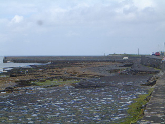 pier/jettypier/jetty · 579 yd
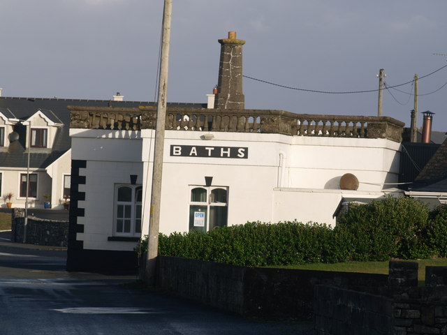 Bath Housebuilding misc · 753 yd
 CahermoreArchaeological place · 988 yd
 IndictatedFairy fort / earthen ringfort · 1023 yd
 Enniscrone BeachBeach / strand · 1.4 mi
 Castle FirbisCastle, tower house · 1.5 mi
 The Black PigMemorial · 1.5 mi
 Grave of the Black PigArchaeological place · 1.7 mi
 Horse IslandIslet · 2.8 mi
 Barnasock PointHeadland · 3.2 mi
 Bartragh IslandIsland · 3.2 mi