
What is recorded here
Ballymaglancy Cave is a 726-metre underground river in County Galway where lesser horseshoe bats still fly through darkness. The townland name points to the Clancy or Glancy family, while Pollwalter suggests a mill pond beside the hidden water. People may have followed that river into rock long before roads or lights arrived, listening for its voice instead of mapping every chamber. The cave remains closed because the bats need that closure; human curiosity must stop at the entrance and let the underground life continue unbroken.
Within the SW quadrant of a possible rath (GA097-039----). Named 'Cave' on the 1838 edition of the OS -inch map. No visible surface trace survives.
Compiled by: Olive Alcock
Date of upload: 19 July 2019
The monument record does not grant public access. Check the route and ask the landowner before entering private land.
- What survives
- Recorded monument
Places near here
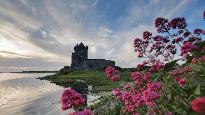 CaveMan-made underground passage · 396 yd
 Man-made underground passage in CaherhenryhoeMan-made underground passage · 491 yd
 Old Mill[Mill, corn · 499 yd
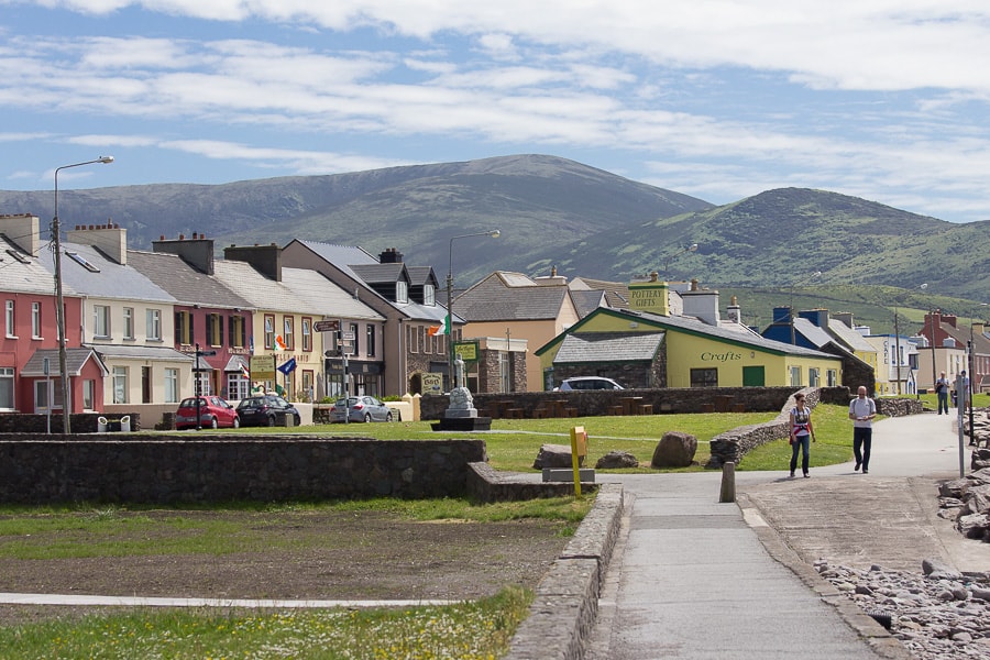 Quarry in CaherhenryhoeQuarry · 565 yd
 Bawn in Cahernamuck WestBawn · 1.2 mi
 Castle (in ruins)Castle, tower house · 1.5 mi
 Turoe StoneHeritage attraction · 2.6 mi
 Blake's IslandIslet · 2.9 mi
 Barrack IslandIslet · 3.0 mi
 Long PointHeadland · 3.9 mi
 Moyard WoodWood · 4.4 mi
 Scalpeen RockNamed rock · 7.6 mi
Other information
Photo: Credit not shown in the picture search · Rights wording not checked; contact us if this picture should be removed