What is recorded here
In W half of ringfort (MA121-076001-). Roughly L-shaped in plan. Two stone-built chambers, roofed with capstones and containing a blocked creepway. Ramp entrance to Chamber 1 (L 4.7m; Wth 1.7m; H 1.3m), orientated NNE-SSW, which contains two air vents and blocked creepway on the S wall. Roof of Chamber 2 (L 10.5m; Wth 2.2m; H 1m), orientated N-S, has collapsed in places, with only three capstones in situ. The above description has been derived from D. Lavelle (compiler), An Archaeological Survey of Ballinrobe and District including Lough Mask and Lough Carra. Lough Mask and Lough Carra Tourist Development Association (1994), No. 493.
From the National Monuments Service (Archaeological Survey of Ireland) record MA121-076002
The monument record does not grant public access. Check the route and ask the landowner before entering private land.
- What survives
- Recorded monument
Places near here
Photo credits
- National Inventory of Architectural Heritage
- Geograph contributor · CC BY-SA 2.0
- Sitomon, Wikimedia Commons · CC BY-SA 2.0
- Bmcgeene, Wikimedia Commons · CC BY-SA 4.0
- Nigel Thompson, Wikimedia Commons · CC BY-SA 2.0
- Mike Searle, Wikimedia Commons · CC BY-SA 2.0
- Willow, Wikimedia Commons · CC BY 2.5
- C Michael Hogan, Geograph · CC BY-SA 2.0
- Rick Crowley, Wikimedia Commons · CC BY-SA 2.0
- Maigheach-gheal, Geograph · CC BY-SA 2.0
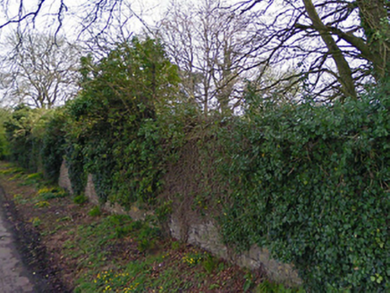 Turin HouseWalled garden · 1457 yd
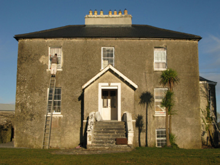 rectory/glebe/vicarage/curate's house1489 yd
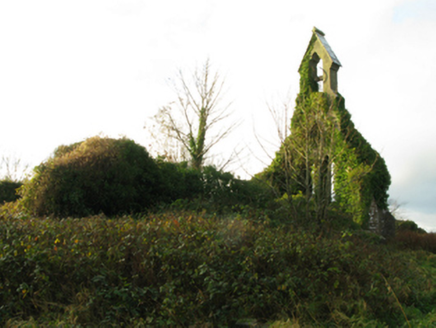 Holy Trinity Church (Kilmainemore)Church/chapel · 1724 yd
 Killernan CastleCastle · 1.4 mi
 European Yew2.4 mi
 Shrule AbbeyArchaeological place · 3.3 mi
 The Gods of the Neale MonumentMonument · 4.5 mi
 Kinlough CastleCastle · 4.6 mi
 European ash5.9 mi
 Ashford castleViewpoint · 7.4 mi
 Inis an GhaillIsland · 10.0 mi
 Owenriff WayWalking route · 13 mi
More archaeology and monuments in County Mayo · All of County Mayo
What do you know about this place?