
What is recorded here
In the interior of a rath (SL012-078001-). This Man-made underground passage is marked as ‘Cave’ at the SE edge of the rath on the 1913 OS 6-inch map. A linear hollow (8.4m NW–SE; 2m NW–SE; D 0.6m) in the SE quadrant of the rath may indicate a collapsed section of the Man-made underground passage. In the SW quadrant there are two further sunken features, another linear depression (10m NW–SE; 4.6m NE–SW; D 0.6m) defined along its NE edge by a low bank (Wth 2m; ext. H 0.3m), and immediately to N of this, a circular hollow (diam. 3m; D 0.8m).
Compiled by: Patrick F. O'Donovan
Date of upload: 19 January 2011
The monument record does not grant public access. Check the route and ask the landowner before entering private land.
- What survives
- Recorded monument
Places near here
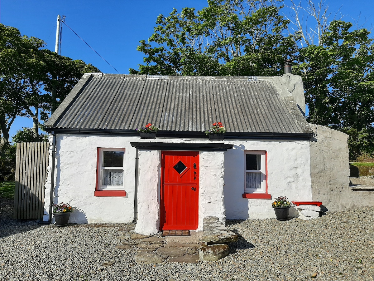 Hut site in BallyfarisHut site · 158 yd
 Enclosure in BallyfarisEnclosure · 291 yd
 Fortlaurel Househouse · 1134 yd
 Templeboy Church (in Ruins)Church · 1729 yd
 Aughris BeachBeach / strand · 1.3 mi
 Dunmoran StrandBeach / strand · 1.7 mi
 Aughris HeadHeadland · 1.8 mi
 Knockalongy North-East TopMountain / peak · 3.6 mi
 DonaghHeadland · 3.8 mi
 KnockalongyMountain / peak · 3.9 mi
 Bawn in CarrowbrickeenBawn · 4.1 mi
 Site of Dunneill CastleCastle, unclassified · 4.3 mi
Other information
Photo: Credit not shown in the picture search · Rights wording not checked; contact us if this picture should be removed