What is recorded here
Situated in a low-lying position in an undulating landscape with a small N-S stream from Lough Donogher c. 40m to the W. This is a subrectangular area (dims 63m N-S; 24m E-W), defined by an earthen field bank, containing 19th- and 20th-century headstones. Outside the perimeter at W is a square enclosure (dims 10.5m N-S; 7m E-W) defined by wire fences and coniferous trees containing a drystone-built subcircular well (dims 1.3m E-W; 1m N-S; D 1m) dedicated to St Patrick, which is open to the S and still venerated. A pattern with rounds may have continued into the 1930s as recorded in the Schools Manuscripts, for which see this web-page accessed on 18/04/2017: http://www.duchas.ie/en/cbes/4662105/4657246 (MacNamee 1954, 544)
The above description is derived from 'The Archaeological Inventory of County Leitrim' compiled by Michael J. Moore (Dublin: Stationery Office, 2003). In certain instances the entries have been revised and updated in the light of recent research.
Date of upload: 23 September 2008
The monument record does not grant public access. Check the route and ask the landowner before entering private land.
- What survives
- Recorded monument
Places near here
 Holy well in KillyfeaHoly well · 25 yd
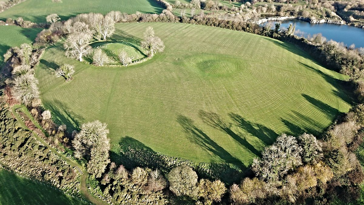 Fairy fort / earthen ringfort in Aghalough (carrigallen By., Aghavas Ed)Fairy fort / earthen ringfort · 711 yd
 Saint Columba's Church (Drumreilly)church/chapel · 2.1 mi
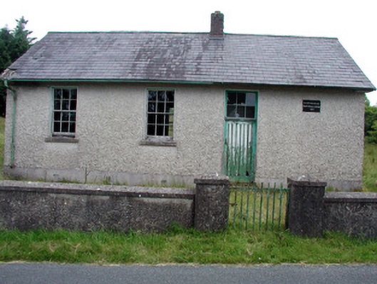 Gortachoosh National Schoolschool · 2.1 mi
 King's GraveArchaeological place · 3.7 mi
 European YewEuropean Yew · 3.8 mi
 Swan Island pet farmHeritage attraction · 3.9 mi
 Giant's GraveArchaeological place · 4.0 mi
 Sessile OakSessile Oak · 4.1 mi
 DrummuckerMountain / peak · 4.3 mi
 Crane IslandIslet · 4.5 mi
 BatteryBawn · 4.5 mi