
What is recorded here
Situated in a low-lying position in an undulating landscape with a small N-S stream from Lough Donogher c. 40m to the W. This is a subrectangular area (dims 63m N-S; 24m E-W), defined by an earthen field bank, containing 19th- and 20th-century headstones. Outside the perimeter at W is a square enclosure (dims 10.5m…
Read the whole record
From the National Monuments Service (Archaeological Survey of Ireland) record LE029-022001
Places near here
Photo credits
- Maker not stated on source page, www.alamy.com
- Maker not stated on source page, www.tripadvisor.ie
- Maker not stated on source page, en.wikipedia.org
- Maker not stated on source page, commons.wikimedia.org
- National Inventory of Architectural Heritage
- Maker named on the Wikimedia Commons picture page · CC BY-SA 2.5
 Mapped cemeteryCemetery · 6 yd
Explorer Tom This Mapped cemetery in County Leitrim would absolutely be the awkward uncle at a wedding who stands by the cake…
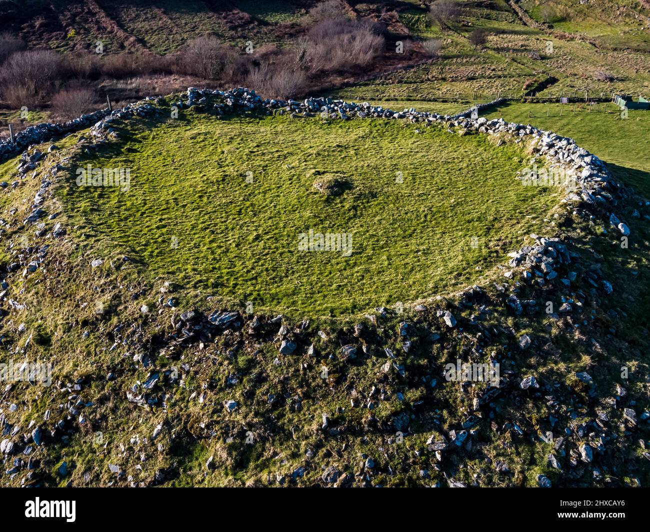 Fairy fort / earthen ringfort in Dromore (carrigallen By., Lisgillock Ed)Fairy fort / earthen ringfort · 1079 yd
Explorer Tom Fairy fort / earthen ringfort in Dromore gets picked on by the wind because it has two walls and no idea which one is…
 CastleCastle, unclassified · 1704 yd
Explorer Tom Castle in Agharann went to the road, allegedly, which is a hell of a commute for stone. A stubborn bird won’t leave the…
Fairy fort / earthen ringfort in Lisgillock GlebeFairy fort / earthen ringfort · 1.0 miExplorer Tom This Lisgillock Glebe spot has a secret talent: it can hold its breath while the bushes grow over its edges like a shy…
 Earthwork in Lisgillock GlebeEarthwork · 1.5 mi
Explorer Tom Earthwork in Lisgillock Glebe is a small circle on a drumlin, looking like the guest who arrives late, stands by the…
 Linear earthwork in UnknownLinear earthwork · 1.7 mi
Explorer Tom Linear earthwork is a fairy dispute over parking rights that has been going on for three hundred years. Nobody knows…
 Fairy fort / earthen ringfort in Drumshanbo NorthFairy fort / earthen ringfort · 1.7 mi
Explorer Tom Fairy fort / earthen ringfort in Drumshanbo North reviews its visitors as people who look confused but keep smiling…
 Páirc Achadh an Mheasa, Aughavas GAAGAA ground · 1.8 mi
 Mapped graveyardGraveyard · 2.1 mi
Explorer Tom Mapped graveyard in County Leitrim thinks tourists from Dublin are loud, smelly, and know absolutely nothing about…
 Saint Columba's Church (Drumreilly)Church/chapel · 2.1 mi
Explorer Tom Saint Columba's Church in Drumreilly would teach history by pointing at its own stonework and saying 'look how fancy…
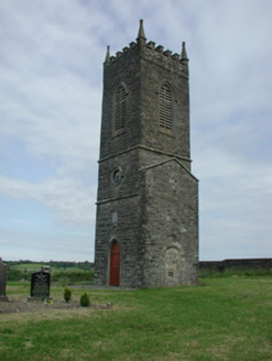 Saint James's Church (Cloone)Church/chapel · 3.2 mi
Explorer Tom Saint James's Church in Cloone had a matchmaker who worked there and paired off half the village. The tower remains…
 Sessile Oak4.1 mi
Explorer Tom Sessile Oak in County Leitrim remembers when a local priest lost a bet right under its branches. He owed a pint and…
More archaeology and monuments in County Leitrim · All of County Leitrim

What do you know about this place?Tap to add a comment or ask a question