What is recorded here
Crossing a W-E section of the River Suck which here has an island in the middle. It is not marked on the Strafford map of c. 1636 (Simington 1949, Athlone) or on Petty's map of Athlone North barony (1683). The bridge has three arches on either side of the island. All the arches are rounded, but unequal, with dressed voussoirs (Wth 4.8m; H 3.4m at N) of one period. The carriageway (Wth 5.35m) has a masonry parapet but no refuge, and it was built in one stage. It is probably 18th century in date.
Compiled by: Michael Moore
Date of upload: 24 August 2010
The monument record does not grant public access. Check the route and ask the landowner before entering private land.
- What survives
- Recorded monument
Places near here
 Stone sculptureStone sculpture, aniconic · 332 yd
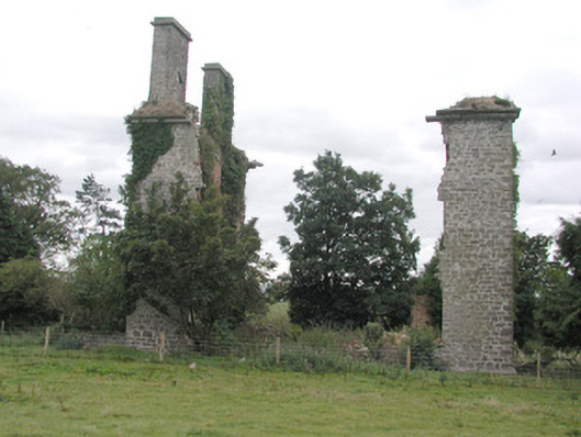 Castlestrangefarmyard complex · 598 yd
 CastleHouse, fortified house · 748 yd
 Enclosure in ToberavaddyEnclosure · 823 yd
 Quarry in Ballinlig (athlone North By., Fuerty Ed)Quarry · 1.0 mi
 European Crab AppleEuropean Crab Apple · 2.1 mi
 European YewEuropean Yew · 2.3 mi
 Sally IslandIslet · 2.4 mi
 Castle KellyCastle, tower house · 3.7 mi
 Roscommon CastleCastle · 4.8 mi
 Mount MaryMountain / peak · 5.0 mi
 Site of Killomaine Grave YardArchaeological place · 8.7 mi