
What is recorded here
Castleruddery Motte is a Hiberno-Norman earthwork built in the late 12th century to guard a river crossing in the Slaney Valley. Its round shape and earthen bank still mark the slope where a borough later grew beside episcopal lands. The site remains a national monument, preserving the moment when martial control and church authority became entangled in County Wicklow.
Castleruddery Motte is recorded as a archaeological place in County Wicklow. Its open map record supplies this location and any linked names or public references.
Places near here
 Enclosure in Castleruddery LowerEnclosure · 300 yd
 CastlerudderyCastle, unclassified · 352 yd
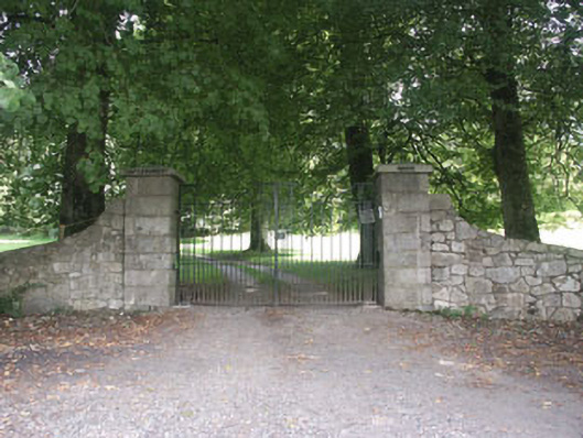 Castleruddery Housecountry house · 369 yd
 Druidical CircleStone circle, embanked · 597 yd
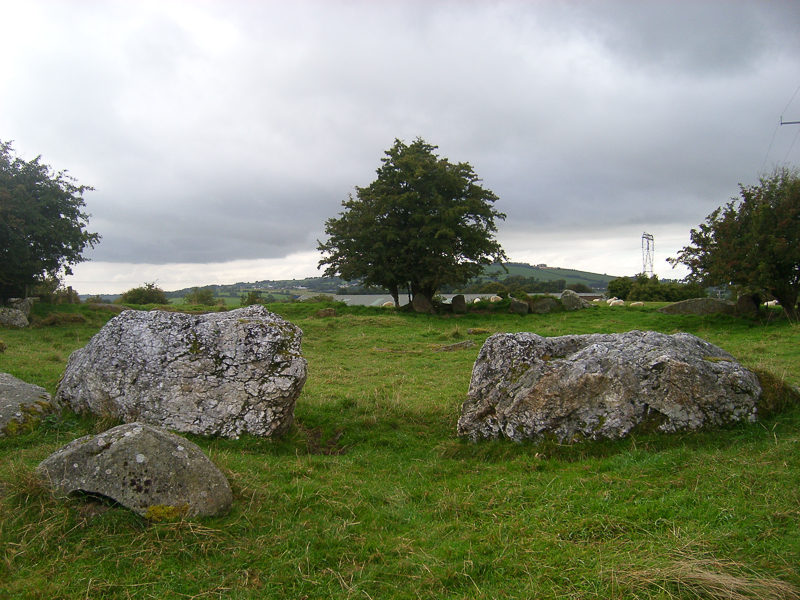 CastleCastle, motte · 1007 yd
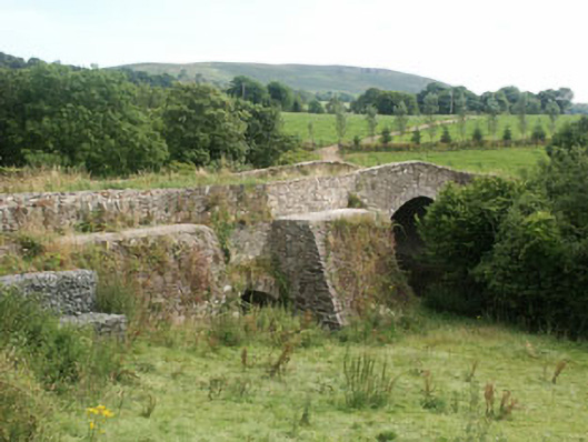 George's Bridgebridge · 1010 yd
 English hollyEnglish holly · 1307 yd
 Ballyhook HillMountain / peak · 1.8 mi
 Pedunculate OakPedunculate Oak · 2.7 mi
 Saint Brigit's ChairNamed rock · 2.9 mi
 Saint Brigit's Mass StoneNamed rock · 2.9 mi
 Sam McAllistair GraveMemorial · 3.3 mi
Other information
Photo: Wanfried-Dublin · CC BY-SA 4.0