What is recorded here
Castleforward Recorded Tomb Site is a cist grave misidentified as a megalithic tomb because a roofstone with cupmarks and low uprights was demolished in the 1800s. What remains is a heap of field-clearance stones, not a chamber. The mistake shows how easily a lost grave becomes a legendary monument when people keep pointing at the same ground and calling it something grander.
The SMR (1987) and RMP (1995) for County Donegal both record a megalithic tomb in this townland at around the position indicated in the heading. There is no megalithic tomb here. A heap of stones, very probably field clearance, is the only feature evident (ASCD archive). The suggestion that there is a megalithic tomb in this townland seems to have arisen from an attempt to locate a 'druidical cromlech' described in 19th-century accounts (M'Parlan 1802; M'Loughlin 1833-4; Lewis 1837). It reportedly consisted of a roofstone 5 feet (c. 1.5m) in diameter indented with what may have been cupmarks and supported on low upright stones c. 18 inches (c. 0.45m) high; an 'urn' was recovered from it in around 1830. The monument had been largely demolished when Kinahan (1879-88a; 1879-88b) saw it. Part of the roofstone then lay on the ground. The nature of this site remains uncertain, but the available information suggests that it is more likely to have been a cist grave than a megalithic tomb. It stood in Castleforward deerpark, which would place it not in Castleforward Demesne but in one of the two nearby townlands, Deer Park West or Bohullion Lower.
M'Parlan 1802, 104; M'Loughlin 1833-4, 92; Lewis 1837, vol. 1, 476; Kinahan 1879-88a; Kinahan 1879-88b, 472-5; ASCD archive; SMR 1987, 47:16; RMP 1995, 47:16.
The above description was published in the 'Survey of the Megalithic Tombs of Ireland. Volume VI, County Donegal.' Compiled by: Eamon Cody (Dublin: Stationery Office, 2002).
Date of upload: 22 September 2008
The monument record does not grant public access. Check the route and ask the landowner before entering private land.
- What survives
- Recorded monument
Places near here
 CastleCastle, unclassified · 165 yd
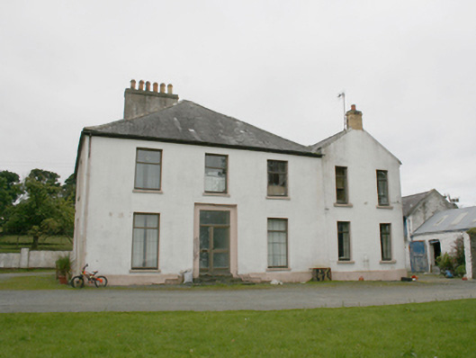 rectory/glebe/vicarage/curate's houserectory/glebe/vicarage/curate's house · 1006 yd
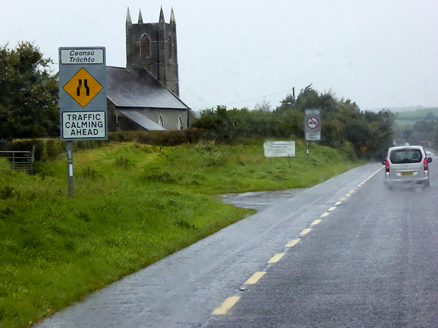 All Saints Church of Ireland Churchchurch/chapel · 1138 yd
 Burt CastleCastle, tower house · 1.3 mi
 Former Monfad Fairy FortFairy fort / ringfort · 1.6 mi
 Emmery Celtic CrossWood · 1.7 mi
 Former Main Plaster EnclosureEnclosure · 1.7 mi
 Greenan MountainMountain / peak · 2.9 mi
 Grianán of AileachFairy fort / stone ringfort · 2.9 mi
 King's GraveArchaeological place · 4.1 mi
 InchIsland · 4.5 mi
 Mullanadee ShoreBeach / strand · 4.7 mi